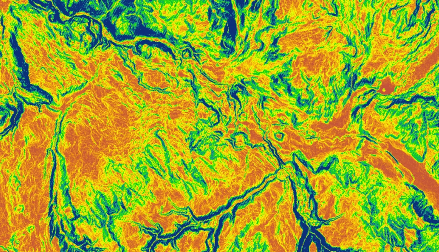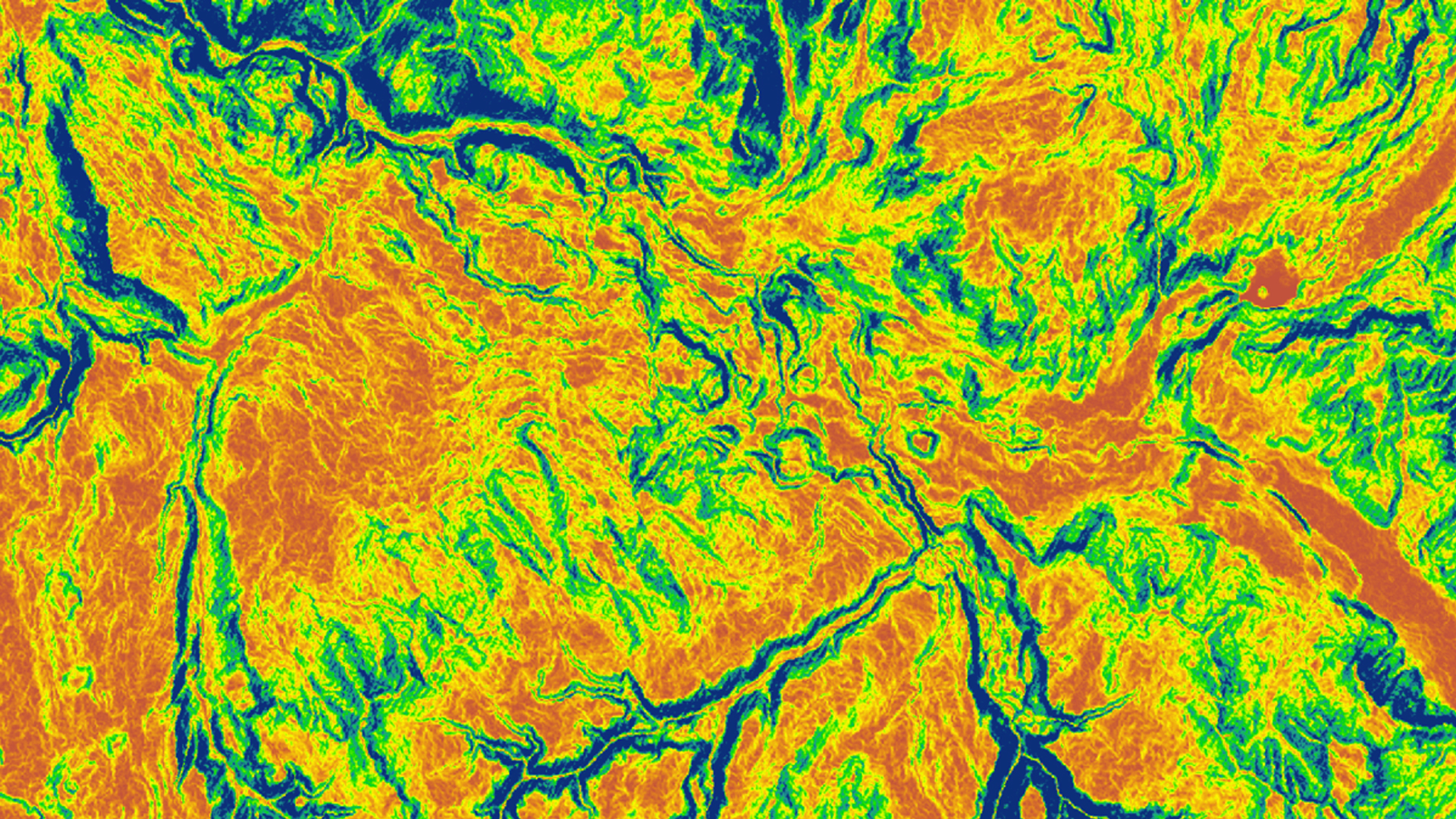
Monitoring early-season invasive (ESI) annual grass species is of great significance to Yellowstone National Park as their spread threatens wildlife populations and biodiversity. Field enumeration of large grasslands with limited personnel is costly and time consuming. In response, this study tested use of NASA Earth observations for assessing the spatial and temporal distributions of ESI species in the park. Moderate Resolution Imaging Spectroradiometer (MODIS) Normalized Difference Vegetation Index (NDVI) phenology data were used to visualize grass and sagebrush areas with abnormally early green-up, which is often associated with invasive grasses. We ran five different models using predictor variables derived from Landsat data, vegetation indices, topographical variables, and climate data. The models tested included boosted regression trees (BRT), random forest (RF), multivariate adaptive regression splines (MARS), generalized linear model (GLM), and Maxent. The analyses were conducted using the software package, Software Assisted Habitat Modeling, trained with 1106 field points within 290 polygons. The RF performed best amongst all models with AUC (Area Under the Curve) greater than 0.995 and was selected to generate a cover time series and probability map of ESI for various years from 1986 to 2017. Future climate data scenarios were used to forecast the ESI geospatial distribution to 2050. The results provided insights into presence and absence of ESI species in the park and their future locations based on climatic conditions. This project demonstrated that remote sensing data can be utilized for ESI distribution modeling.
