Imagen
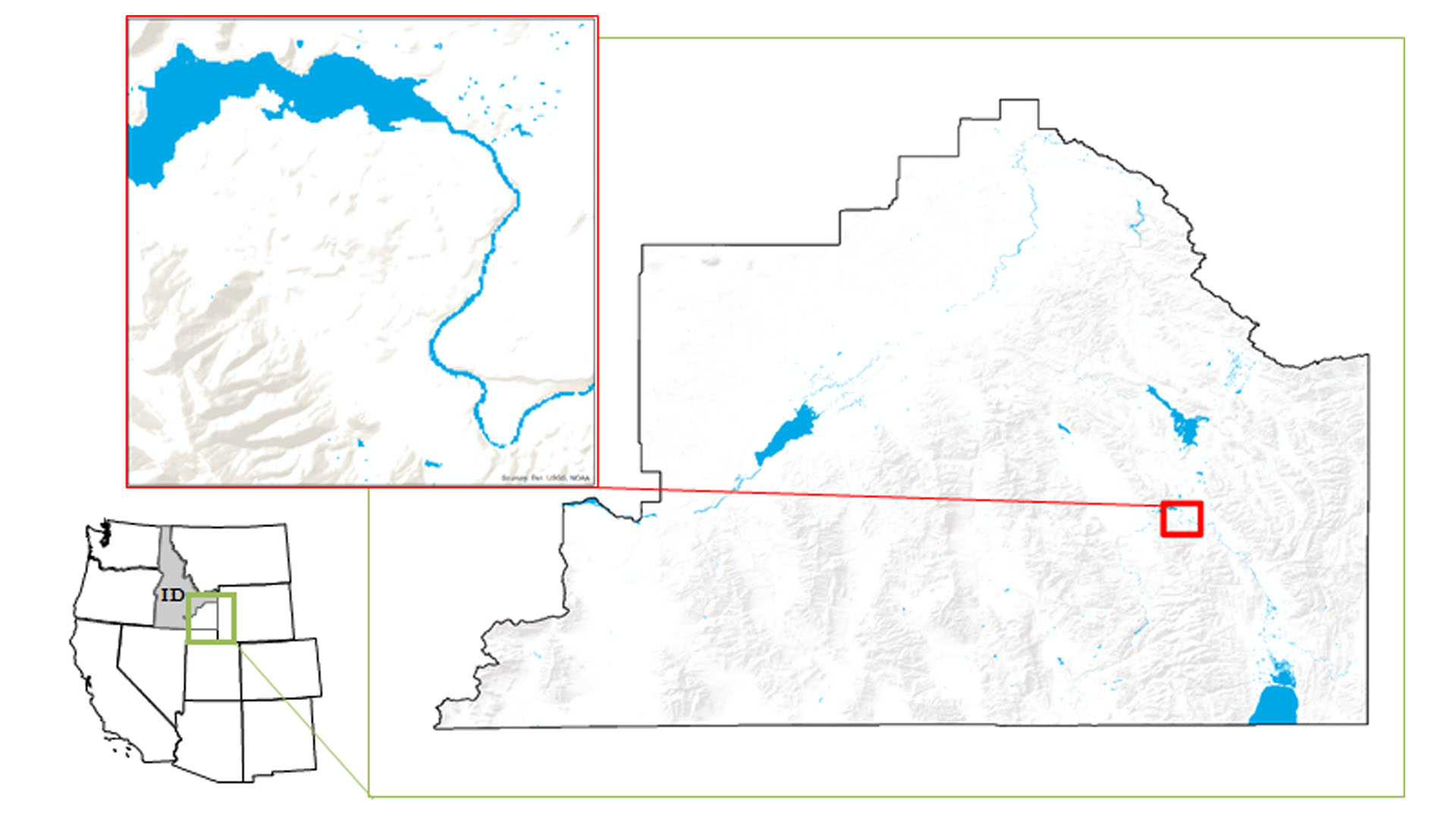
Understanding water dynamics in southeast Idaho is critical to planning and improving water management practices. Partner organizations that focus on water resource management, such as the Bureau of Land Management (BLM) and Idaho Department of Water Resources (IDWR), currently use the National Hydrography Dataset and legacy knowledge to identify water bodies. However, this approach has been insufficient to meet all their needs because these datasets may not always reflect the current ground conditions. This poses a risk for officials at the BLM and IDWR that could lead to ineffective use of their resources and inefficient management practices. Therefore, this study used NASA Earth observations and Google Earth Engine (GEE) to create a tool that would allow end-users to better identify and track water bodies within their management area. Known as the Surface Water Indicator Model (SWIM), this tool incorporated Landsat 8 imagery, Sentinel-2 imagery, multiple water indices, and topographic data into a Support Vector Machine (SVM) classifier. This study combined multiple water indices into a single tool to create a more accurate surface water indicator. The resulting SWIM tool was created in both GEE and ESRI ArcGIS to allow the end-users their choice of platform. The SWIM tool will help natural resource managers with current and seasonal surface water indication and provide more accurate data for land managers.