Imagen
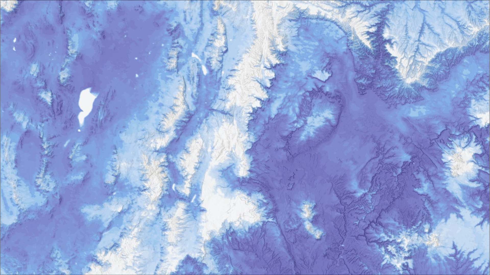
As a largely snowmelt-fed watershed, Utah's Fremont River Basin provides year-round irrigation for approximately 16,000 acres of agricultural areas, including historic orchards and pastures maintained by Capitol Reef National Park (CARE). However, forecasts for seasonal water availability within the basin based on in situ snowpack data have been unreliable compared to water use allocations in the past. For this reason, a more robust method was required to provide accurate water availability assessments that help CARE plan future water allocations more effectively. Multiple NASA Earth observations and in situ data were employed to derive key trends and data insights for snowmelt and relevant climate variables across the watershed. Furthermore, a forecasting tool that predicts seasonal streamflow in the Fremont River Basin was created using machine learning models. The results of the snowmelt and climate analyses along with the forecasting tool will inform water resource management and enhance future irrigation allocation plans at CARE.