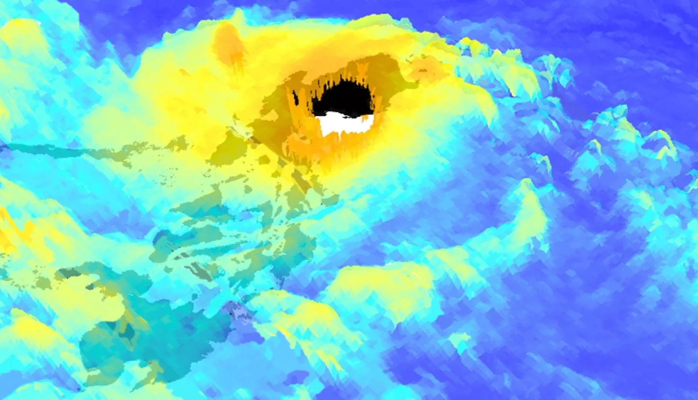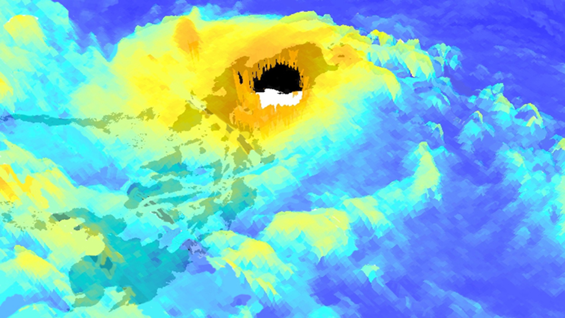
The Philippine islands, located within the northwest Pacific Ocean Basin, are frequently affected by tropical cyclones. During and after tropical cyclones, the number of Gender-Based Violence (GBV) crimes increase. To assist the United Nations Office for the Coordination of Humanitarian Affairs (OCHA), a cyclone vulnerability assessment for each municipality within the Philippines is created and streamlined with demographic data to identify at risk communities. For this effort, hurricane satellite (HURSAT-B1) data were downloaded for each tropical cyclone that affected the Philippines from 1985 to 2009. To include the recent record, data were gathered for tropical cyclones affecting the study area from 2010 to 2015 from the Cooperative Institute for Research in the Atmosphere's (CIRA) Multiplatform Tropical Cyclone Surface Wind Analysis (MTCSWA). The HURSAT and CIRA products were used to derive estimates of the 18 m/s, 26m/s, and 33 m/s wind radii for each of the four quadrants (i.e. northwest, northeast, southeast, southwest) of each tropical cyclone at a 6-hour temporal resolution. The wind radii estimates were provided to our team by Dr. John Knaff because the data are not widely available. The wind speed data were then used to estimate the Integrated Kinetic Energy (IKE) of each tropical cyclone in the study period. IKE values were then accumulated over the entire study period for the Philippines and used to generate a climatology of cyclone intensity for each municipality. Additionally, areas susceptible to rainfall-triggered landslides were mapped using slope data from Shuttle Radar Topography Mission.
