Imagen
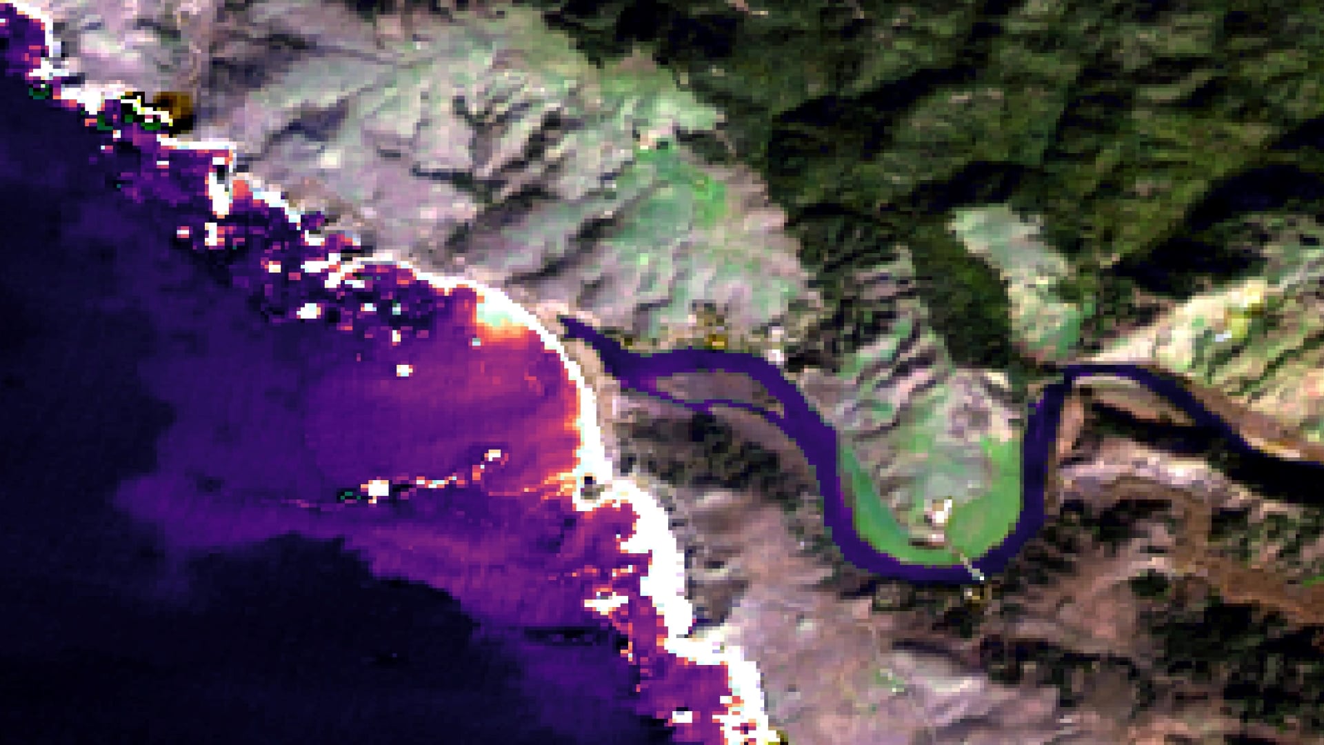
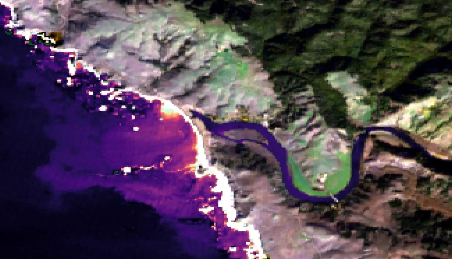
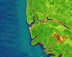
Estuaries are dynamic environments that provide a host of vital ecosystem services. California’s Marine Life Protection Act protects such ecosystems by creating Marine Protected Areas. California has approximately 440,000 acres of estuarine habitats as well as 23 Estuarine Marine Protected Areas (EMPAs); thus, in situ data collection is often difficult due to time and resource constraints. This project used remote sensing to gather data that examined the health and dynamics of California EMPAs in order to supplement ground-based field measurements. Through the use of Landsat 8 Operational Land Imager (OLI) and Thermal Infrared Sensor (TIRS), Sentinel-2 Multispectral Instrument (MSI) and Sentinel-1 C-band Synthetic Aperture Radar (C-SAR), this project assessed mouth state, inundation extent, turbidity, temperature, and tidal measurements for observable estuaries. The Normalized Water Difference Index from Sentinel-2 MSI captured estuary mouth state and inundation extent. Landsat 8 OLI and Sentinel-2 MSI detected differences in water quality metrics that correlated to changes in estuary mouth state (i.e., open or closed). The team’s California Estuary Assessment (CEA) tool in Google Earth Engine was successful in analyzing estuary mouth state, inundation, and water quality. It was most effective when breach events were larger than 10 meters in resolution, water surface was smooth, and imagery was unimpeded by algae or sun glint. The CEA tool will allow the partners, the Ocean Protection Council, Central Coast Wetlands Group, Southern California Coastal Water Research Project, and University of California Los Angeles (UCLA) and Davis (UCD), to better understand estuary dynamics and more effectively conduct in situ estuary monitoring.