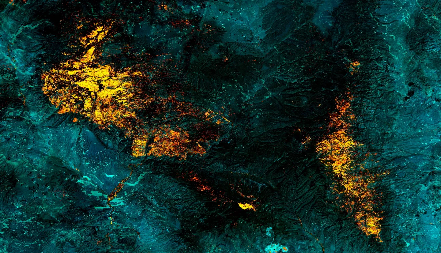
The largest fire in New Mexico’s recorded history, the Whitewater-Baldy Complex Fire, occurred in 2012 in the Gila National Forest (Gila NF). Then, in 2013, the Silver Fire broke historic records for destruction of private property. These disturbances have become more frequent, more severe, and are powerful forces of landscape change. Fire disturbances prompt serious concern over associated impacts, such as post-fire flooding, erosion, debris flows, and the ability of the Gila NF to provide essential goods and services, including safe drinking water and timber. Understanding the impacts of interrelated disturbances on watershed recovery dynamics is increasingly important to ensure future health and function of watershed ecosystems. This project partnered with the US Department of Agriculture (USDA) US Forest Service’s (USFS) Gila National Forest and Region 3 to explore watershed recovery trends following wildfires. The purpose of this project was to generate data-supported knowledge to inform land management decisions and planning, including the prioritization of specific regions for restoration efforts. To evaluate the watershed recovery phenomena in the Gila NF, this project used a combination of local knowledge and Earth observations, including Landsat 5 Thematic Mapper (TM), Landsat 7 Enhanced Thematic Mapper Plus (ETM+), and Landsat 8 Operational Land Imager (OLI). Normalized Burn Ratio (NBR) was the index used to evaluate recovery trends over time. Additionally, the team used USGS stream gauge data to evaluate the relationship between wildfires and flood events observed in the years following fire disturbances. Finally, potentially significant physical and environmental parameters were collected in a spatial database for use in subsequent studies.
Related Impact