Imagen
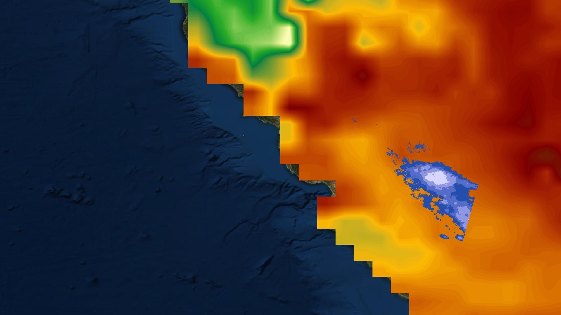
California’s Central Valley is one of the most productive agricultural regions in the United States, producing a fourth of the nation’s food supply. The water demand in this region is heavily dependent on groundwater resources, resulting in over pumping of aquifers at unsustainable rates during recent periods of severe drought. Over the past century, Central Valley aquifers have experienced a significant decline in groundwater levels, resulting in land subsidence and irreversible loss in groundwater storage. In 2014, the state enacted the Sustainable Groundwater Management Act, requiring high and medium priority subbasins to suspend overdraft and achieve sustainable levels of pumping and recharge by 2042. The California Department of Water Resources (DWR) oversees subbasin groundwater management; however, monitoring remains challenging due to sparse and inconsistent in situ data. To assist the DWR, this project developed a user-friendly executable application and an interactive visualization tool to quantify groundwater storage and land subsidence trends using remotely sensed and in situ data. The team utilized NASA’s Gravity Recovery and Climate Experiment (GRACE), GRACE Follow-On (GRACE-FO), Sentinel-1 C-band Synthetic Aperture Radar (C-SAR) interferograms, and Advanced Land Observing Satellite 2 (ALOS-2) Phased Array L-band Synthetic Aperture Radar 2 (PALSAR-2) interferograms in conjunction with well and GPS measurements to analyze groundwater and subsidence trends. GRACE and well data returns produced a strong Pearson correlation of .84, while Sentinel-1 and GPS data returns produced a Pearson correlation of .41 over the entire Central Valley. These findings suggest remotely sensed GRACE and interferometric SAR data can be used in the absence of in situ data.