Imagen
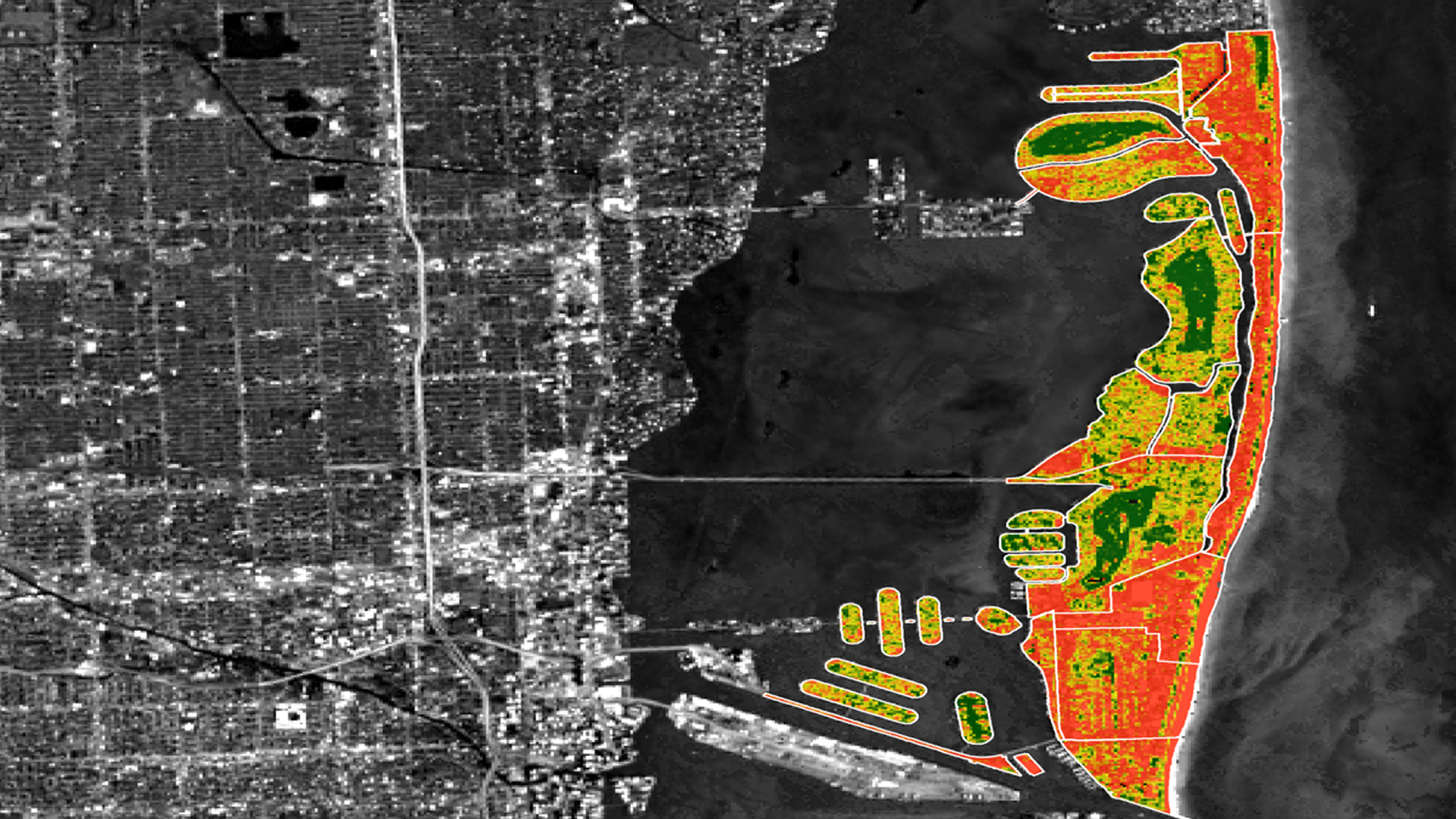
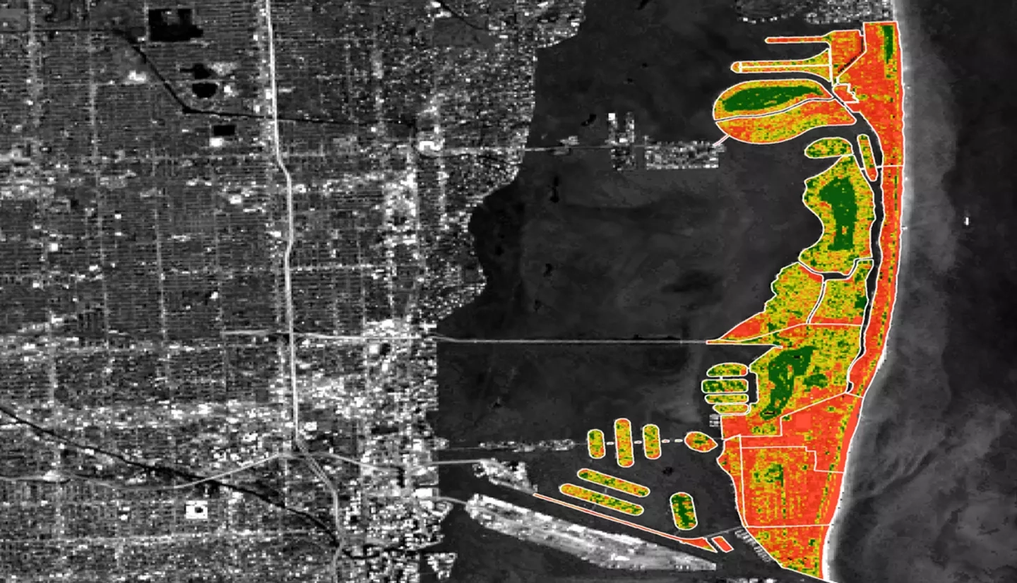
In response to projected sea level rise and extreme weather events, Miami Beach and other urban areas surrounding Biscayne Bay are developing adaptive strategies to mitigate the effects of changing environmental conditions. Because the local economy, especially the tourism industry, is intricately tied to coastal resources, city officials are involved with on-going efforts to reduce storm damage and monitor shoreline conditions. Some important considerations for these adaptive strategies include water drainage capacity, green infrastructure, and maintenance of natural wetland ecosystems, particularly mangrove forests. This NASA DEVELOP project employed Earth observations to assess historical trends in urban vegetation density, post Hurricane Irma coastal damage, and the current extent and health of mangrove ecosystems in protected areas. The goal of this project was to enhance the wetland monitoring and shoreline management programs led by local organizations, such as the City of Miami Beach Public Works Department. The results of this project will be incorporated into a mangrove habitat suitability analysis that will aid the ecological management and land use planning efforts led by the City of Miami Beach Public Works Department to improve coastal resiliency.