Imagen
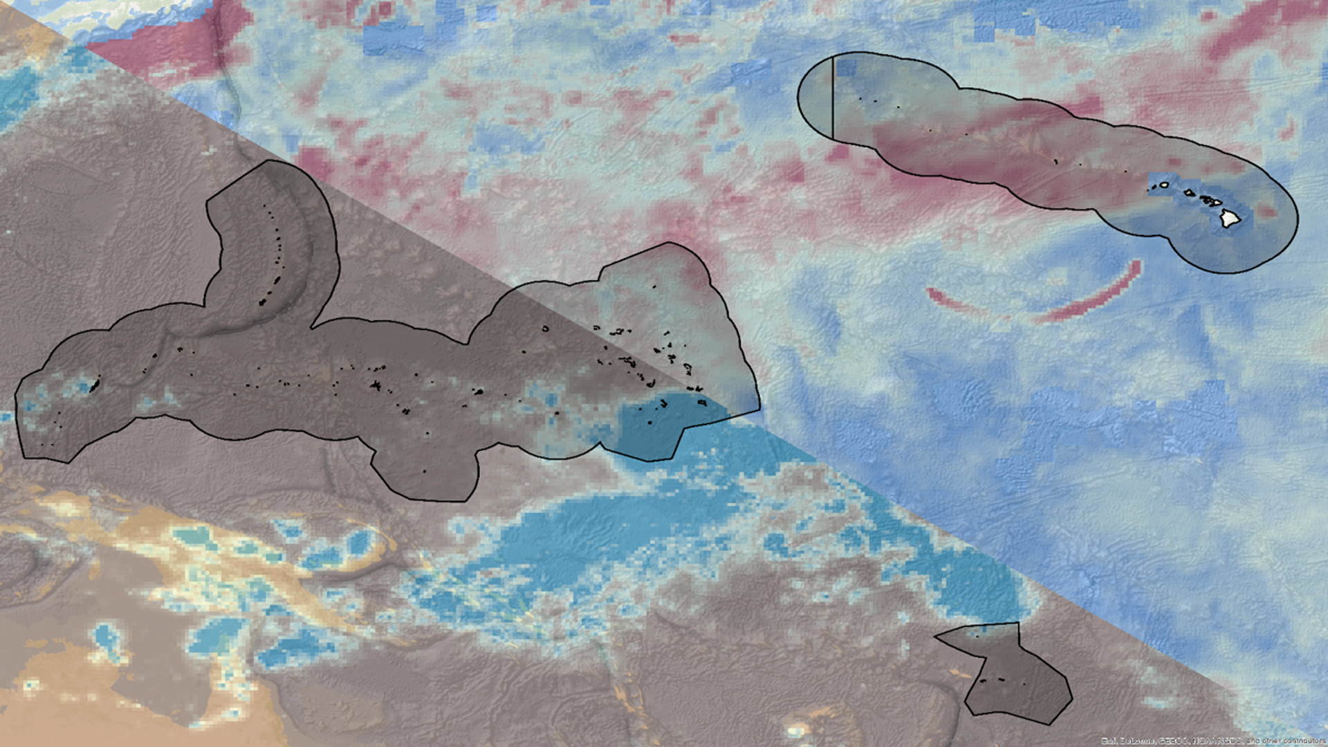
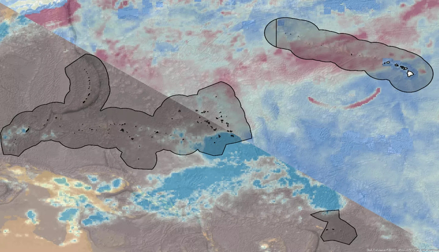
Hawai'i and the U.S. Affiliated Pacific Islands (USAPI) comprise more than 2,000 islands that span thousands of miles of ocean and are home to nearly 1.9 million people. This region is particularly vulnerable to economic, social, and environmental impacts resulting from changes in sea level rise and storm patterns over the next century. Climatologists and regional decision makers are interested in understanding projected long-term changes in extreme weather events for adaptation and mitigation planning. This study provided an initial outlook at regional trends in the location of the monsoon and distribution of the extremes in wind speed and rainfall over the course of the 21st century. Select Global Climate Models (GCMs) from the Coupled Model Intercomparison Project Phase 5 (CMIP5) were verified against historic NOAA satellite data. This project used the future simulations to calculate the projected changes in magnitude for extreme values of wind speed and rainfall rate, return interval frequency for rainfall and wind speed, and distribution of monsoon events. The results include gridded maps of monsoon distribution and extreme wind and rain values, as well as return interval plots for virtual stations within the USAPI and Hawai'i Exclusive Economic Zones on a decadal basis for the years 2030-2100.