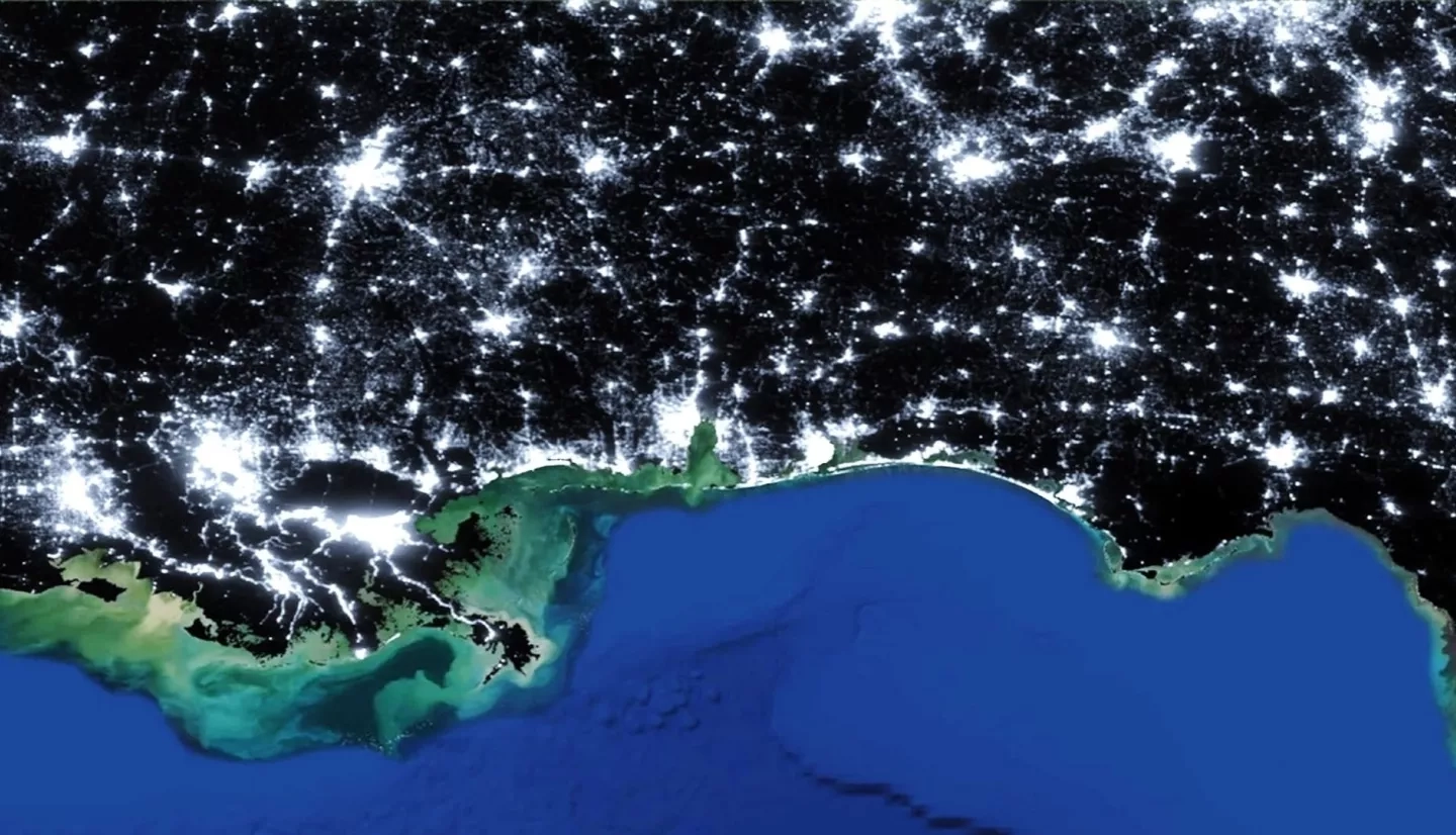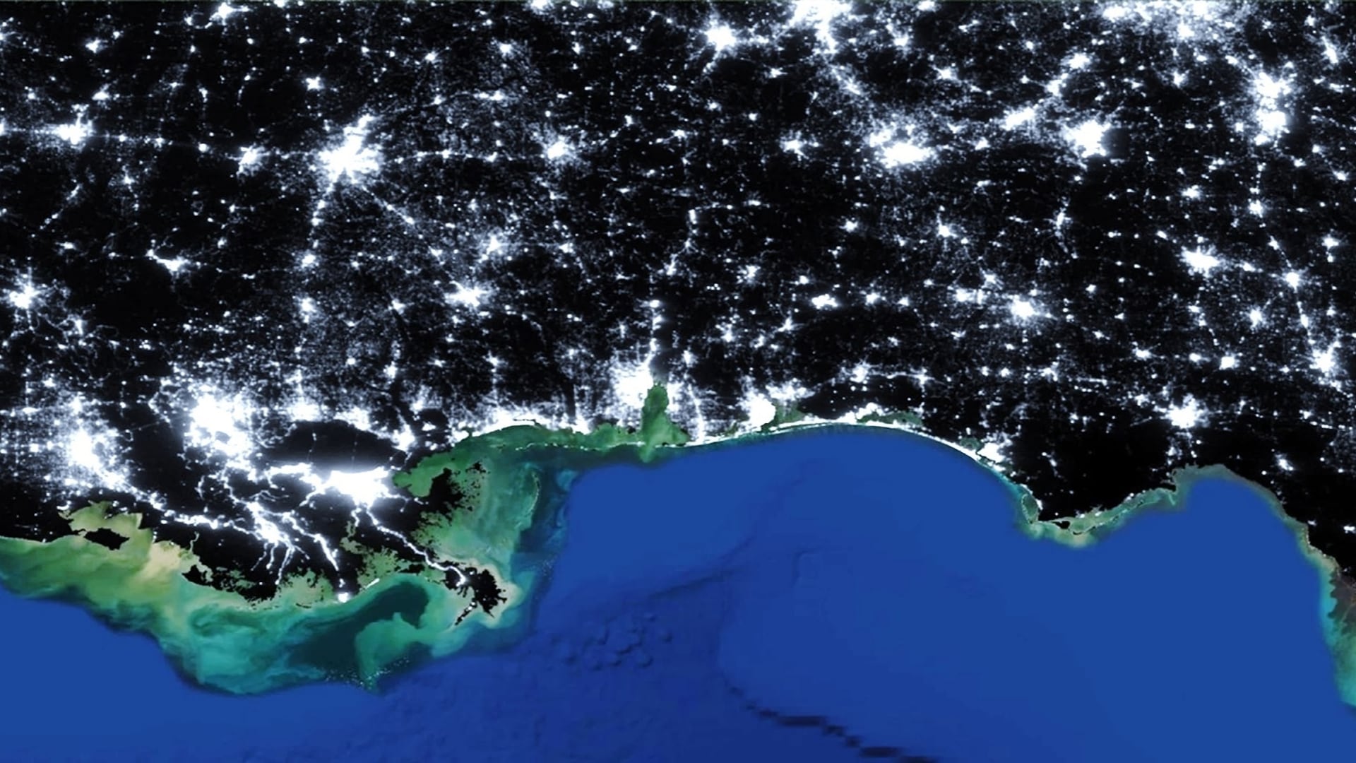
The expansion of cities and infrastructure networks has raised concerns regarding the impact of growing artificial light pollution on wildlife and human well-being. In addition to degrading night skies for aesthetic viewing, this ‘skyglow’ interferes with ecosystems by disrupting plant life, animal behavior, and human circadian rhythms. In partnership with the National Park Service (NPS), this project created a tool to facilitate the estimation of skyglow in national parks. To conduct this work, the team used the Skyglow Estimation Toolbox (SET), a Python-based program that calculates artificial skyglow by applying a model of light propagation to visible light radiance imagery from the Suomi National Polar-orbiting Partnership (NPP) Visible Infrared Imaging Radiometer Suite (VIIRS) Day/Night Band (DNB). A previous group enhanced SET’s abilities and created a graphic user interface, and the current team focused on finalizing and validating SET. By comparing skyglow estimations from SET for select parks with the NPS’s ground truth data, the team confirmed that the two showed a tight linear correlation for most parks, and that SET outputs closely aligned with NPS data after some simple calibration factor. The team trained NPS officials to use SET and produced 3D hemispheric brightness maps for six parks and three additional regions to visualize the prevalence of light pollution.
