Midwest Water Resource (Fall 2021)
Team: Emma Myrick (Project Lead), Erica Barth-Naftilan, Erin Shives, and Alec Solberg
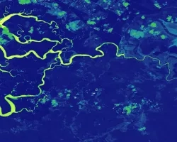
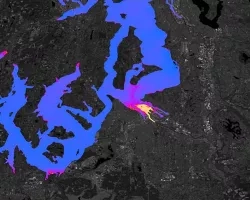
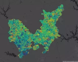
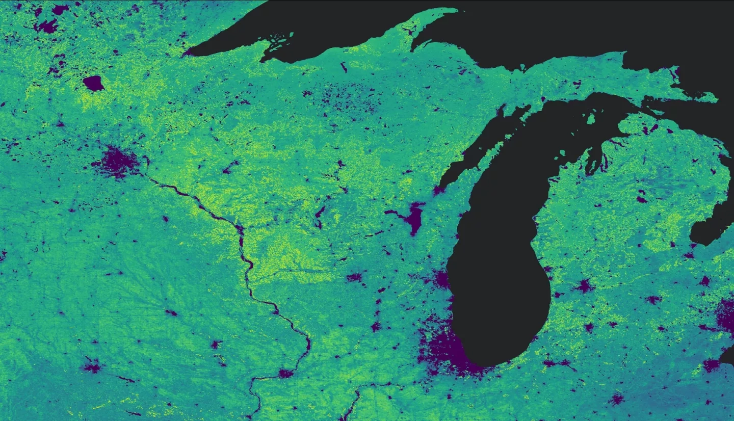
Summary: Evapotranspiration (ET) is a climatic variable critical to the hydrologic cycle and is used to evaluate spatiotemporal trends in drought conditions. Although in-situ observations provide accurate ET information, these records are spatially sparse. The United States Department of Agriculture (USDA) Midwest Climate Hub, National Integrated Drought Information System, Minnesota Department of Agriculture, Michigan State University, and the USDA Foreign Agricultural Service have partnered with DEVELOP to gain new insights on spatiotemporal patterns of ET with NASA satellite data. This project evaluates the feasibility of using remotely sensed ET data products to understand trends from 2001 through 2020. Actual ET (aET) data were sourced from NASA’s Terra Moderate Resolution Imaging Spectroradiometer (MODIS), and reference ET (refET) and precipitation data were sourced from the Gridded Surface Meteorological Dataset (gridMET). Spatial and temporal differences in the MODIS and gridMET data sets were resolved such that gridded data could be compared. These data sets were then used to produce monthly Normals maps of mm/8-day of precipitation, aET, and refET. Using precipitation and ET Normals maps, hydrologic state maps were produced by subtracting either refET or aET from precipitation. These hydrologic state maps provide a proxy water balance by summarizing the difference between water entering and leaving the ground surface. Additionally, the ET products were compared in timeseries plots. The ET products from this project provided partners with comparable datasets to assess potential drought and flooding conditions to support Midwest agricultural and natural resource managers in decision-making.
Deliverables:
Related Impact