Imagen
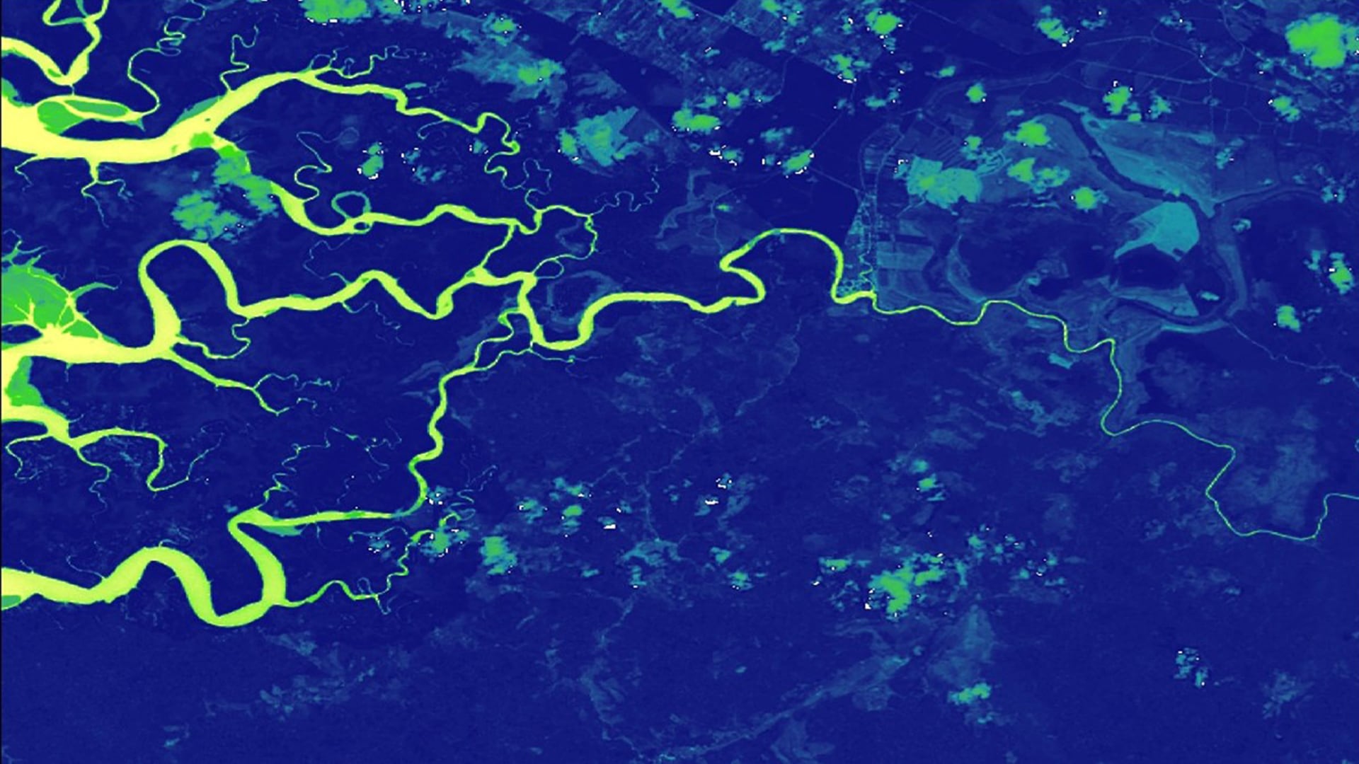
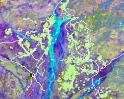
The Osa Peninsula, located in the southern region of Costa Rica's Pacific Coast, is one of the most biologically-diverse places on Earth and is a popular ecotourism destination. However, the area faces watershed degradation and loss of biodiversity due to deforestation, pollution from agriculture, and human settlement. NASA DEVELOP worked with Osa Conservation to analyze land use and land cover change in the Osa Peninsula to better understand threats to river water quality and mangrove health. This project used Landsat 5 Thematic Mapper (TM), Landsat 8 Operational Land Imager (OLI), and Terra Advanced Spaceborne Thermal Emission and Reflection Radiometer (ASTER) to create a land cover time series map from 1987 to 2017. These time series data were used to compare land use over time, as well as patterns in water quality, mangrove health, erosion, and deforestation. The time series also helped to identify the impact of the creation of protected areas and the 1996 Forest Law 7575, which aimed to support reforestation and riparian health. Osa Conservation will use and distribute results to the National System of Conservation Areas (SINAC), Ministry of Environment and Energy (MINAE), and local communities to inform land management decisions, policy enforcement, education and outreach initiatives, and watershed restoration and monitoring.