Imagen
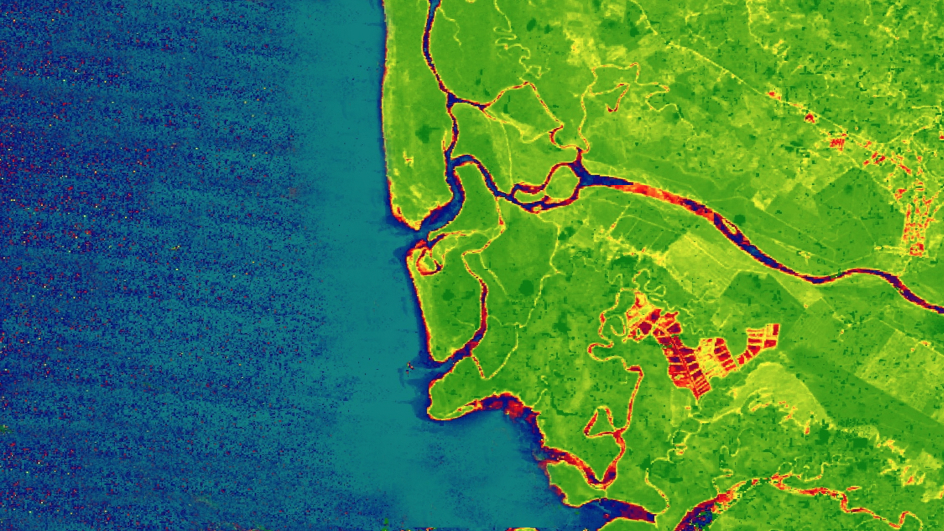
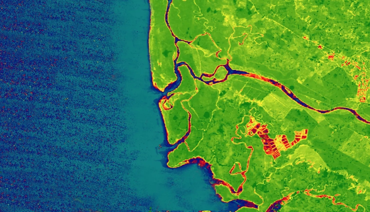
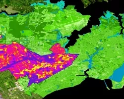
La Amistad International Park connects southern Costa Rica and northern Panama as part of the Mesoamerican Biological Corridor. Despite the existence of conservation programs within this region, human-induced and natural ecological disturbances threaten native species and alter forest ecosystems. To assess these threats, the NASA DEVELOP Costa Rica & Panama Ecological Forecasting team partnered with the Ministry of Environment and Energy in Costa Rica and the National Environmental Authority in Panama to create products that monitor land use and land cover (LULC) change in La Amistad and surrounding areas. The team mapped LULC changes from 1999 to 2019 using Landsat 5 Thematic Mapper (TM), Landsat 7 Enhanced Thematic Mapper Plus (ETM+), and Landsat 8 Operational Land Imager (OLI). The time series maps were then used in QGIS to forecast LULC in 2029. The 2029 forecast map projected major LULC conversions and highlighted regions of significant change over time. To map short-term forest changes, the project team created a Forest Change Detection Tool (FCDT) developed in Google Earth Engine’s API. The tool used the aforementioned Earth observations and Sentinel-2 Multispectral Instrument (MSI) to ensure that any month of interest can be observed by partners. Analyses of the LULC maps and the development of the FCDT helped partners involved in protecting the corridor to identify areas in need of attention and conservation resources.