UHEAT Urban Development (Spring 2022)
Team: Akshay Agrawal (Project Lead), Myung Sik Cho, Zainab Farid, Vanessa Machuca
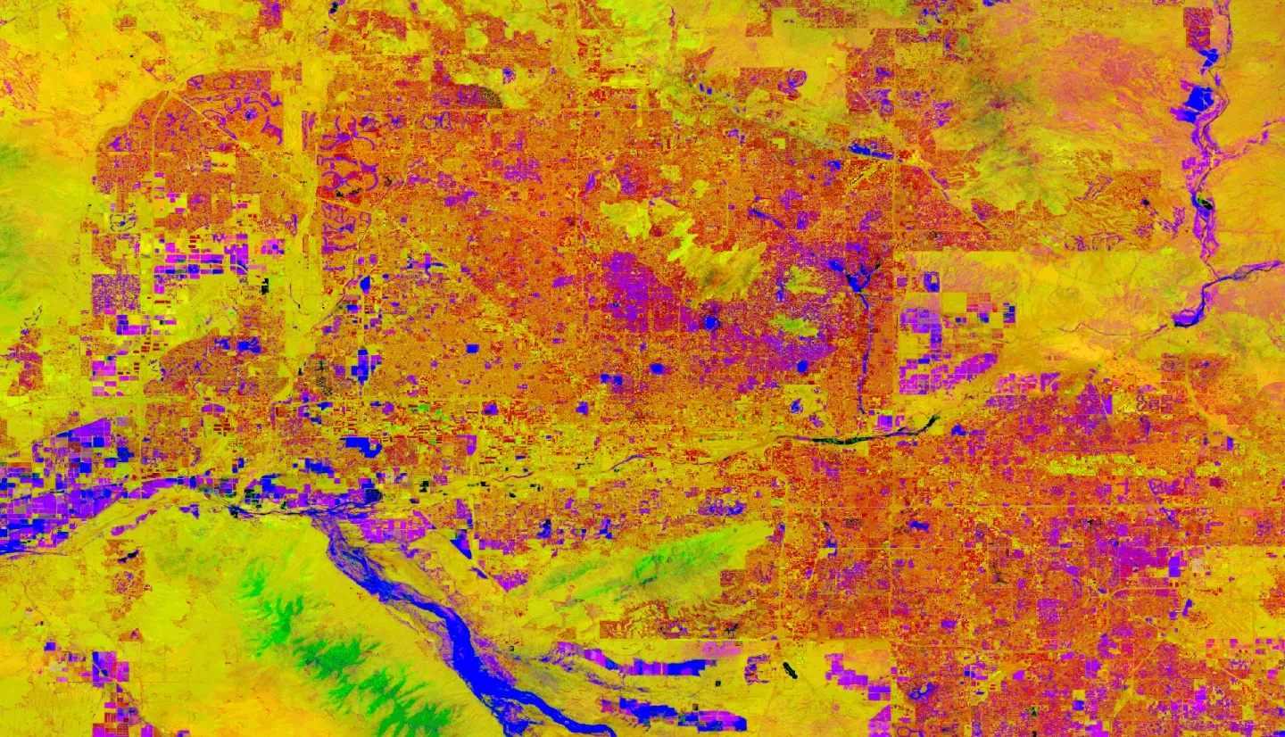
Summary: Extreme heat is a leading weather-related cause of death in the United States. Given that vulnerability to extreme heat is strongly related to heat exposure and socioeconomic status, policy-makers can use heat-priority maps to visualize how these variables interact. This kind of geographic information is key to informing targeted heat risk mitigation efforts. In response to this need, the Fall 2020 Tempe Urban Development II team developed the Urban Heat Exposure Assessment for Tempe (UHEAT) Tool to provide insight on heat exposure, heat vulnerability, and heat priority within Tempe, Arizona. However, UHEAT is limited in its application to other cities and does not provide a user interface to ensure the tool is accessible to all users. To better provide critical heat-related information to local policymakers, this project developed UHEAT 2.0, which is applicable to any US city. The tool is equipped with a user-friendly interface through Google Earth Engine, utilizes the Python API, and utilizes up-to-date Earth observation data. The tool incorporates Landsat 8 Operational Land Imager (OLI) and Thermal Infrared Sensor (TIRS) along with Aqua Moderate Resolution Imaging Spectroradiometer (MODIS) data. UHEAT 2.0 offers rapid, easy, accessible, and efficient heat-related information to users.


