Lower Illinois River Valley Ecological Forecasting (Summer 2022)
Team: Vanessa Machuca (Project Lead), Dana Myers, Hannah Rigdon, Christiana Saldana
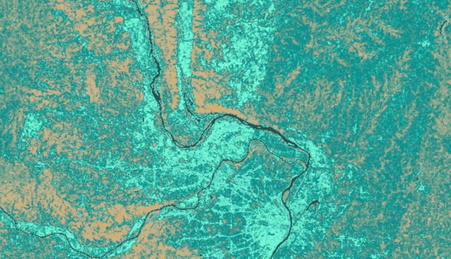
Summary: The Lower Illinois River Valley (LIRV) is home to some of the richest agricultural lands in the United States and its wetlands provide key ecosystem services like clean water and flood reduction. It has also experienced extensive degradation due to development and urban pollution. The Great Rivers Land Trust (GRLT), the National Great Rivers Research & Education Center, Principia College, and the American Geophysical Union’s (AGU) Thriving Earth Exchange sought to incorporate inundation and surface water extent layers into their geodatabases to more accurately identify priority areas for wetland restoration. This project aimed to determine the feasibility of detecting inundation extent and duration along the valley using remotely sensed data. The team used Sentinel-1 C-band Synthetic Aperture Radar (SAR) data to classify open water and inundated vegetation within the study site. The open water classification was compared to Dynamic Surface Water Extent (DSWE) derived from Landsat 8 Operational Land Imager. The team successfully created layers of inundation minimum and maximum extent, as well as inundation duration across the study area for 2019 and 2020. The open water classification resulted in an overall accuracy of 86% when validated against DSWE classifications. These analyses will help end users to identify high-priority areas along the LIRV best suited for land conversion projects in the future.


