Imagen
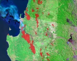
Thirty-five million California residents live in counties where they are more susceptible to contracting an air quality-related health ailment. Particulate matter less than 2.5 µm in size (PM2.5) is an important metric of air quality and can cause significant health problems. Despite California's policies targeted at reducing PM2.5 and other air pollutants, three major cities experienced increasing levels of PM2.5 from 2013 to 2015. California's rapid population growth compounds these air quality problems and stresses the need for air pollution reduction policies. Current air quality remediation and regulations are based off in situ air quality monitors; however, these methods do not provide adequate spatial coverage. The NASA DEVELOP project team investigated the advantages of using PM2.5 data derived from remote sensing imagery taken from Moderate Resolution Imaging Spectroradiometer (MODIS), Multi-angle Imaging Spectroradiometer (MISR), Cloud-Aerosol Lidar and Infrared Pathfinder Satellite Observation (CALIPSO), and Sea-Viewing Wide Field-of-View Sensor (SeaWiFS), to study PM2.5 in California from 1998 to 2016. We analyzed trends in PM2.5 concentrations over time as well as the spatial distribution of PM2.5 relative to socioeconomic factors. With the results of these analyses, the California Air Resources Board will gain a clearer understanding of the spatial and temporal distribution of particulate matter pollution in the state, and which communities are more likely to face heightened health risks from air pollution.