Huntsville Urban Development II (Summer 2023)
Team: James Karroum (Project Lead); Awroni Bhaduri, Kindrea Gibbons, Natalie O'Kraski
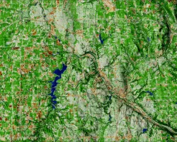
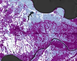
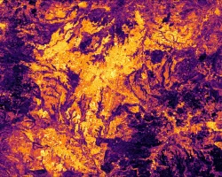
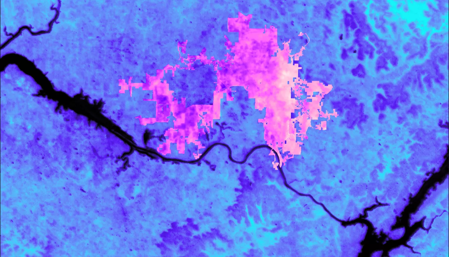
Summary: Huntsville, Alabama has seen a boom in growth over recent years. One consequence of this urban expansion is the exacerbation of the Urban Heat Island (UHI) effect across the city. This project identified the areas within Huntsville the greatest potential for heat reduction and community health benefits from tree-planting efforts. The team created maps of land surface temperature (LST), the normalized difference vegetation index (NDVI), and the normalized difference built-up index (NDBI) over June through August from 2019 to 2022 using data from ECOsystem Spaceborne Thermal Radiometer Experiment on Space Station, Landsat 8 Operational Land Imager (OLI) and Thermal Infrared Sensor (TIRS), Landsat 9 OLI-2 and TIRS-2. The team identified areas with high LST, low NDVI, and high NDBI as areas with the greatest potential for heat reduction via tree-planting. Social factors relating to age, race, income, and self-reported health were adapted from Tree Equity Score to map community need for tree cover. When combining social with environmental factors, the team determined areas with the greatest potential for UHI mitigation: west-central and north downtown Huntsville. The team’s partner organization, the City of Huntsville, can use this priority map to guide their future tree-planting, and weigh the factors assessed according to their preference.
Related Impact