Imagen
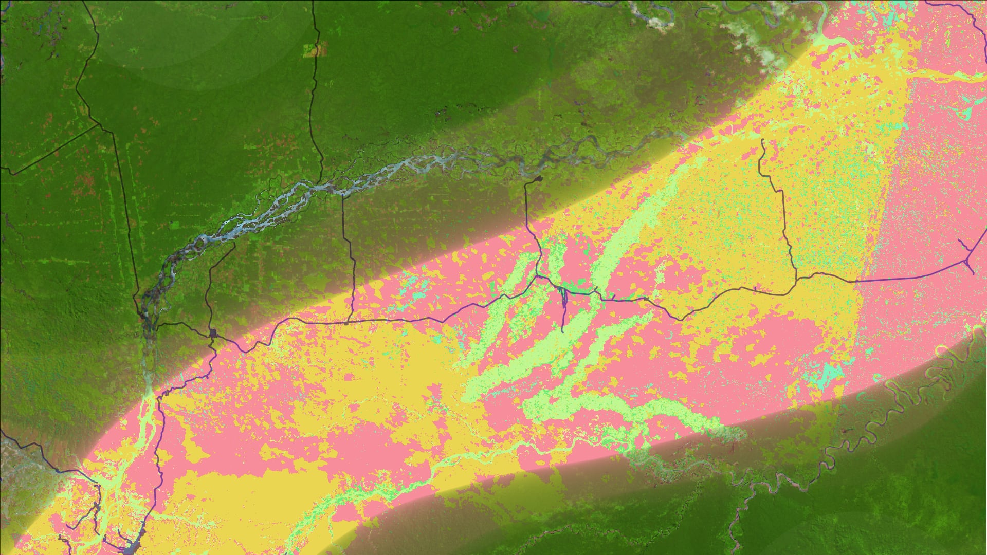
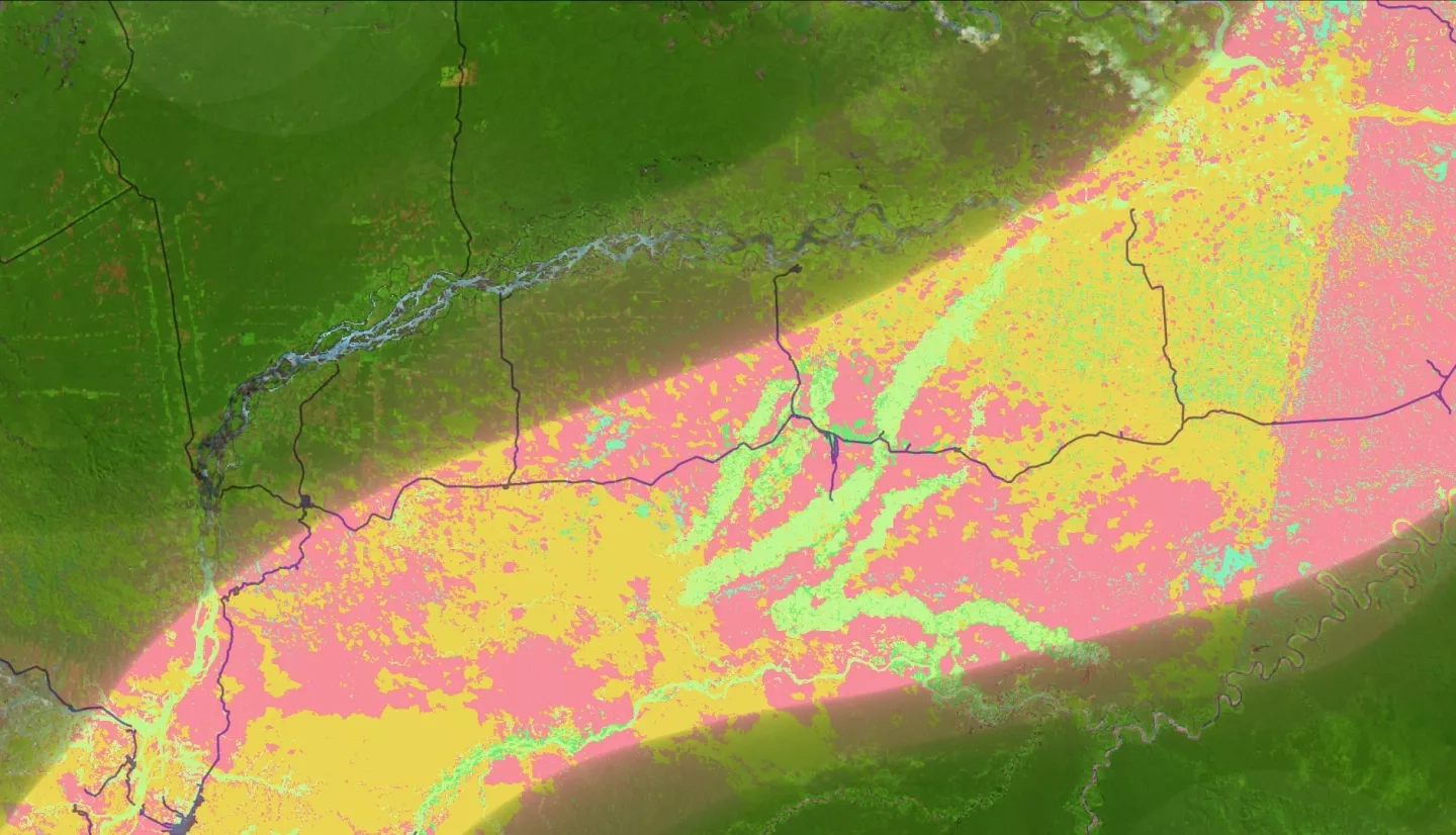
In the Madre de Dios region of the Peruvian Amazon, forests are being cleared for mining, timber harvesting, road construction, and hydroelectric dam development. These rapid land use changes are increasing human presence in previously sparsely-populated areas, disrupting ecosystems and increasing the proximity of human settlement to zoonotic disease vectors. Dengue fever and leishmaniasis are two neglected tropical diseases which are prevalent in Madre de Dios and have been associated with urbanization and road construction. In partnership with the Peruvian Ministries of Health (MINSA) and the Environment (MINAM) and other in-country collaborators, we examined Land Use Land Cover (LULC) correlations with reported dengue and leishmaniasis incidence in the Madre de Dios region to help partners understand the spatial relationship between land use change and zoonotic disease incidence. We created a LULC classification script using Google Earth Engine (GEE) with Landsat 5 Thematic Mapper (TM) and Landsat 8 Operational Land Imager (OLI) imagery to classify land cover in 2010, 2015, and 2020 and evaluate changes over this period. We then used the quantified results of the LULC assessment along with reported disease cases to evaluate correlations between disease incidence and key land cover changes across Madre de Dios’ 11 districts. In the second term, the team will use these products to develop more detailed disease incidence risk maps and models. High risk areas will then be classified, using PeruSat-1 for higher resolution mapping at less than 3 meters. These products will allow the partners to understand hotspots of land cover change in Peru and the relationship with outbreaks to inform public health decision making and environmental policy.