Oregon Coast Range Ecological Conservation (Summer 2023)
Team: Emily French (Project Lead), Uma Edulbehram, Sarah Hughes, Madison Arndt
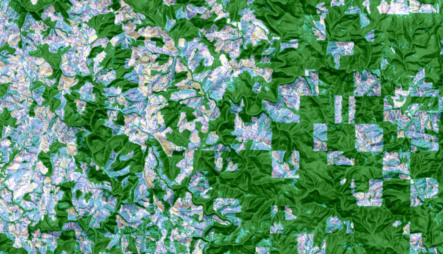
Summary: Logging operations are widespread across the Oregon Coast Range and conventional logging practices pose a risk of contamination to surface water quality. The NASA DEVELOP Boston team partnered with nonprofit, Oregon Wild, to quantify the extent of clearcutting and commercial thinning in the Oregon Coast Range between 2000 and 2022. This project accessed all available Landsat data from 1997 through June 2023 in Google Earth Engine. Sensors used include Landsat 4 and 5 Thematic Mapper, Landsat 7 Enhanced Thematic Mapper Plus, Landsat 8 Operational Land Imager, and Landsat 9 Operational Land Imager-2. The Continuous Change Detection and Classification (CCDC) algorithm was used to identify clearcutting patches and percent change in the Normalized Difference Vegetation Index (NDVI) was used to identify areas of forest disturbance including commercial thinning. The team concluded that logging, including both clearcutting and commercial thinning, impacted 42 percent of forested area in drinking watersheds and the intensity of logging remained consistent from year to year. Clearcutting occurred primarily on private land while commercial thinning occurred primarily on state and federal lands. This study showed that CCDC is an effective method for detecting clearcutting and percent change in NDVI can successfully identify forest disturbances including commercial thinning. Key constraints included the lack of field validation data and the inability to attribute disturbances to logging with certainty. Ultimately, this study identified the drinking watersheds and communities most likely to be impacted by logging activity. These results can inform legislation aimed at balancing the commercial and environmental benefits of forestlands.
Related Impact