Capitol Reef Ecological Conservation (Summer 2023)
Team: Vanchy Li (Project Lead), Evgeny Mazko, Kyleigh Kowalski, Drew Comin
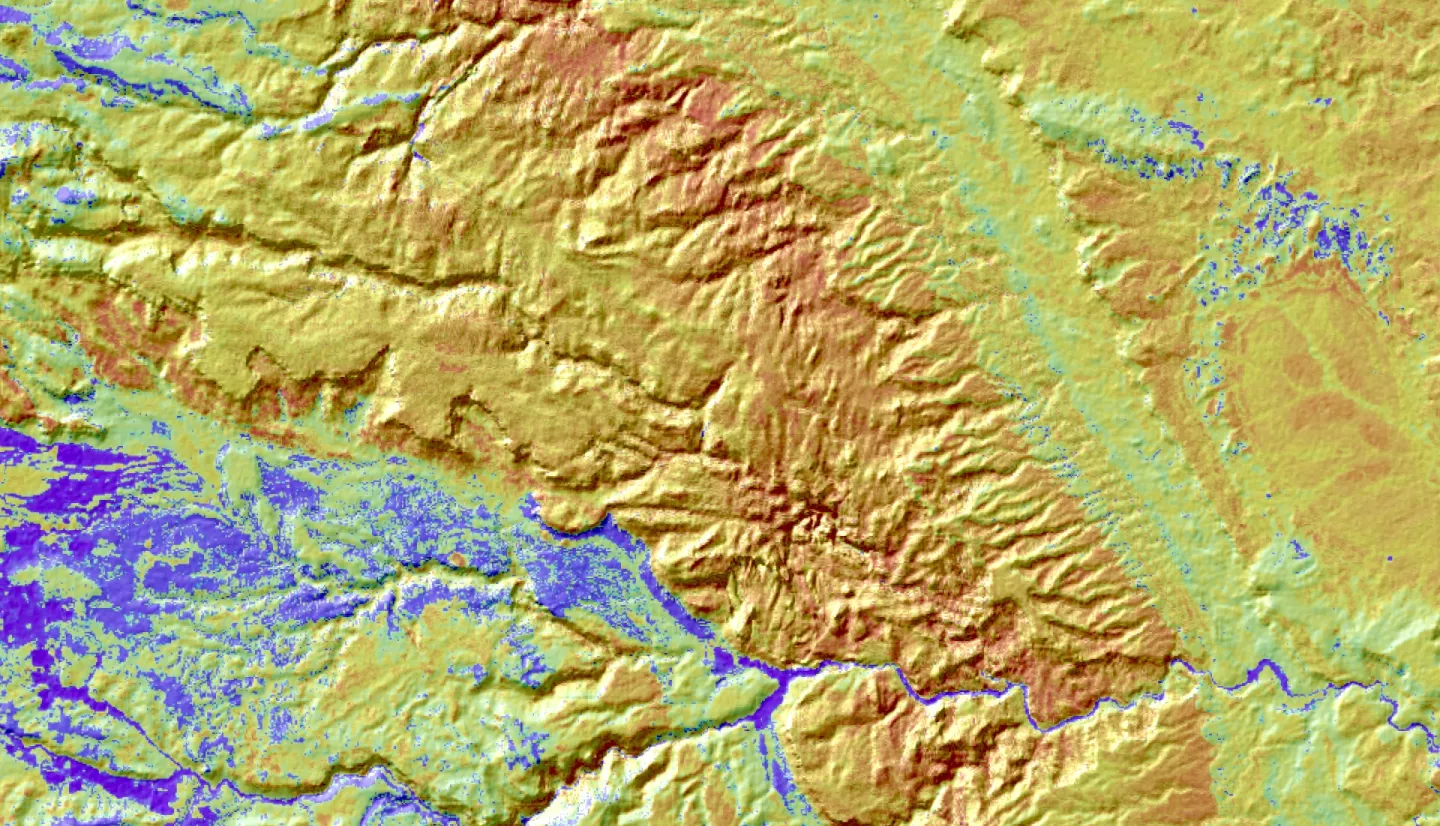
Summary: Capitol Reef National Park (CARE) reached out to NASA DEVELOP to investigate invasive exotic plant (IEP) species found within the park boundaries. Our partners have familiarity with using GIS software and remotely sensed datasets, including those from the USDA’s Rangeland Analysis Platform (RAP), but require validation for the efficacy of the national RAP platform for informing decisions at a local scale. CARE is looking to identify a remote monitoring solution that will allow managers to target their efforts accurately and effectively within the park’s boundaries – a persistent need as the landscape is rugged and there are many difficult-to-access areas. To accomplish this, the DEVELOP team used Landsat imagery and Random Forest modeling to create classification maps describing vegetation functional groups within the park for 2013, 2022, and 2033. They compared the efficacy of these data with RAP data for predicting native plants and IEP species and communities as they occur on the ground. The classification maps generated through our methodology facilitate clear visualization of invasive species distribution over time, allowing resource managers to make informed decisions and develop precise Vegetation Management Plans. Additionally, forecasting observed trends into the future using our model further aids in assessing the impacts of invasive plants, helping CARE proactively prepare for potential ecological disruptions. In comparison to the RAP, we found that the Random Forest classification method generates functional group maps that are more representative of our study area than the RAP can produce.


