Imagen
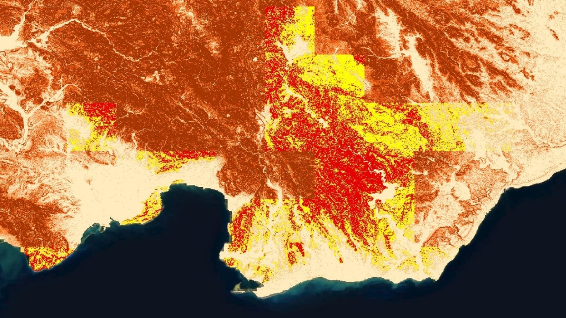
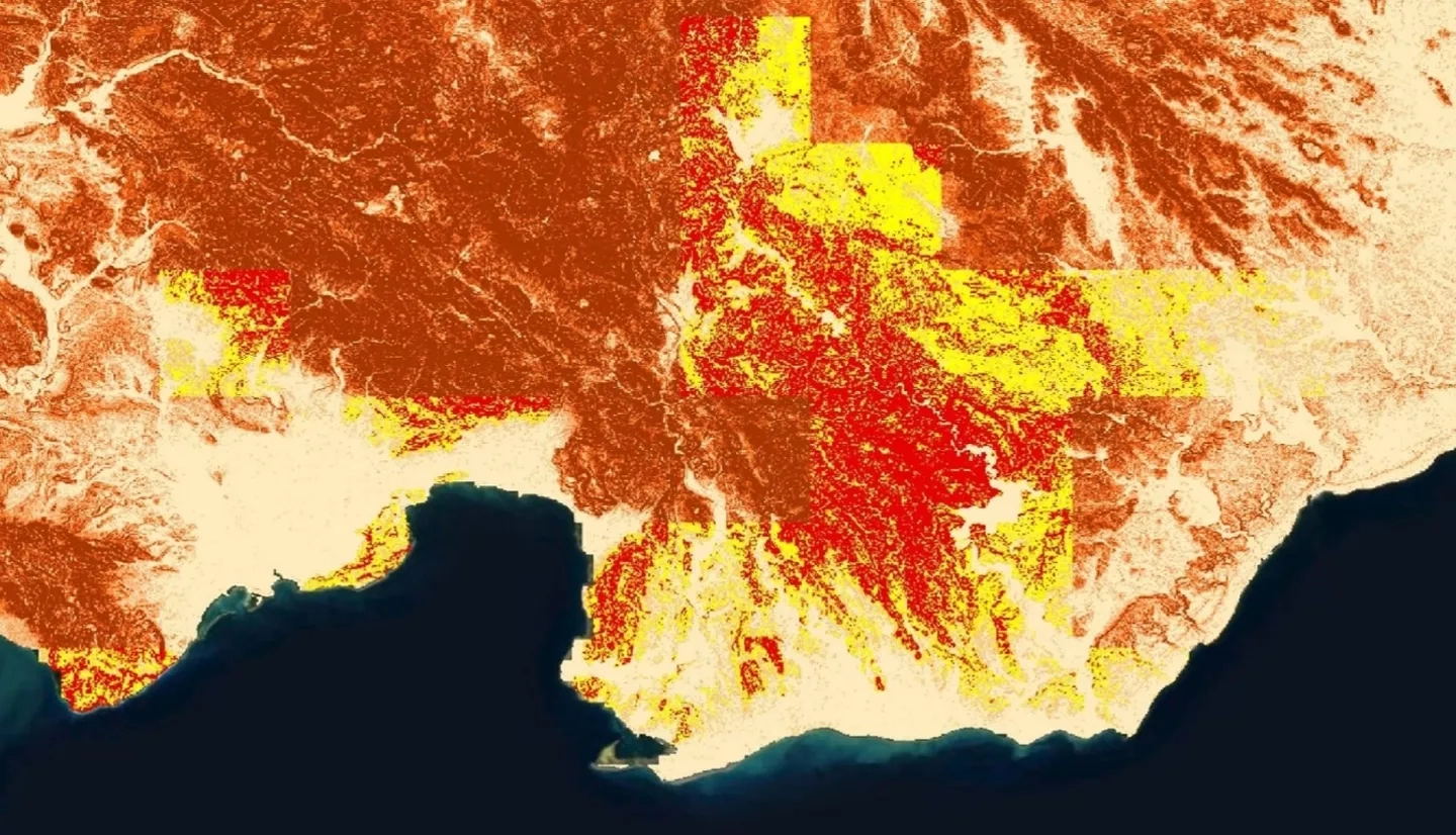
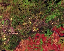
Rainfall-triggered landslides associated with tropical storms cause devastating damage to the communities in the Dominican Republic and surrounding Caribbean islands. With the predicted increase in the frequency and intensity of storms, the region would benefit from reliable disaster monitoring. Partnering with Servicio Geológico Nacional (SGN) and Oficina Nacional de Meteorología (ONAMET), the team created local landslide susceptibility maps and used them in combination with NASA Earth observations as inputs to the Landslide Hazard Assessment for Situational Awareness (LHASA) model to visualize potential landslide activity in near real-time. Susceptibility maps were based on slope derived from elevation data from the Shuttle Radar Topography Mission (SRTM), geology, road networks, fault lines, and forest loss. In LHASA, each map was combined with near real-time rainfall data from the Global Precipitation Measurement (GPM) mission. Using model outputs, the team identified areas of moderate and high potential landslide activity in a northern region of interest identified by our partners. Additionally, exposure maps were generated using a bivariate method that combined susceptibility with population and critical infrastructure data. The team created a LHASA standard operating procedure document for the end users at SGN and ONAMET. The partners can use this to update the susceptibility maps as new data becomes available and run the LHASA model independently to monitor near real-time landslide potential.