San Diego Water Resources (FALL 2022)
Team: Ethan Gates (Project Lead), Stefanie Mendoza, Jonathan Szeto, Max VanArnam
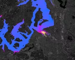
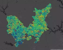
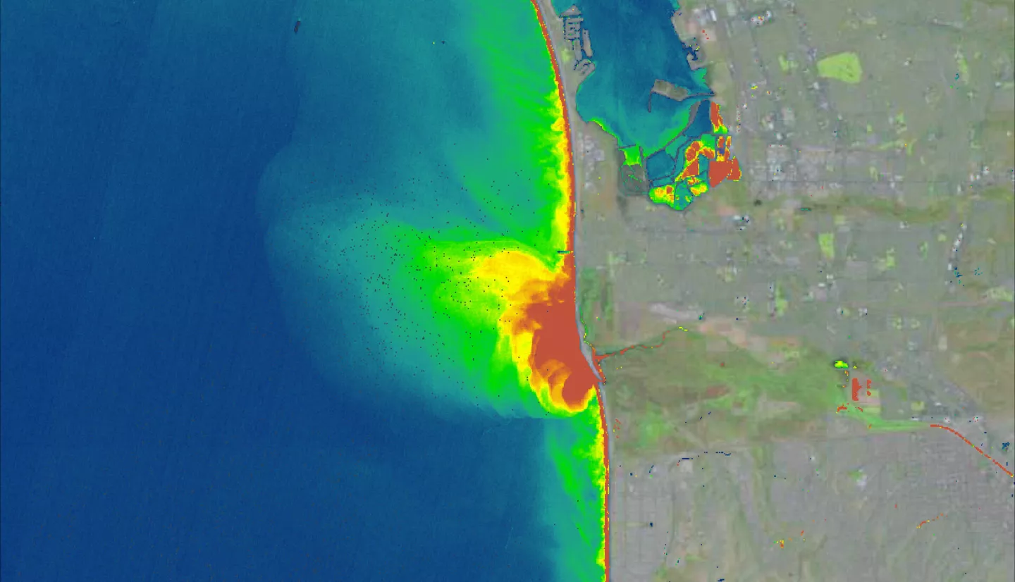
Summary: Stormwater and wastewater runoff are a large source of pollutant discharge along the southern California coast and are a major concern to the health of local communities and ecosystems. In partnership with the Tijuana River National Estuarine Research Reserve and the California Department of Environmental Quality, the NASA DEVELOP team utilized satellite imagery to visualize and analyze the water quality of the Tijuana Estuary and southern California coast after a major storm and wastewater events. Using Landsat 8 Operational Land Imager (OLI) and Sentinel-2 Multi-spectral Instrument (MSI), we estimated the extent and severity of plumes released from the Tijuana River Estuary. We used remotely sensed turbidity to map the extent of plumes and used remotely sensed turbidity, Chlorophyll-a (chl-a), and colored dissolved organic matter (CDOM) to quantify and visualize stormwater, wastewater, and mixed plumes from 2013 to 2022. Furthermore, remotely sensed CDOM, turbidity, and chl-a were validated with in-situ data from NOAA and the San Diego Public Utilities in the San Diego coastal area to evaluate the accuracy of water quality data derived from satellite imagery. The end products of this project include maps of stormwater, wastewater, and mixed plumes, tables illustrating the average area, CDOM, turbidity, and chl-a of each plume type, and validation graphs between satellite and in-situ data sources. These end products informed the environmental management of the Tijuana River National Estuarine Research Reserve and the public beaches in San Diego.
Related Impact