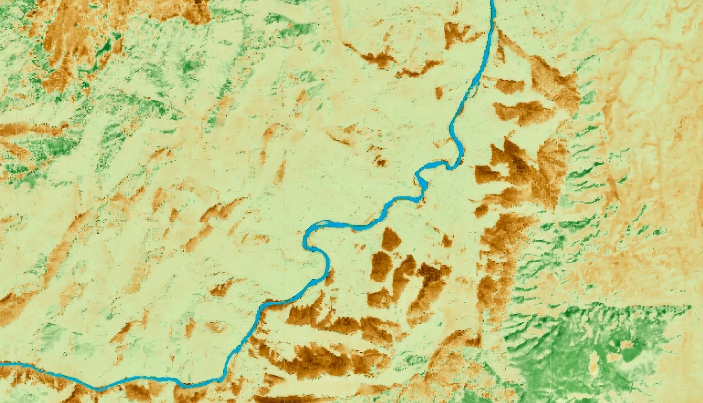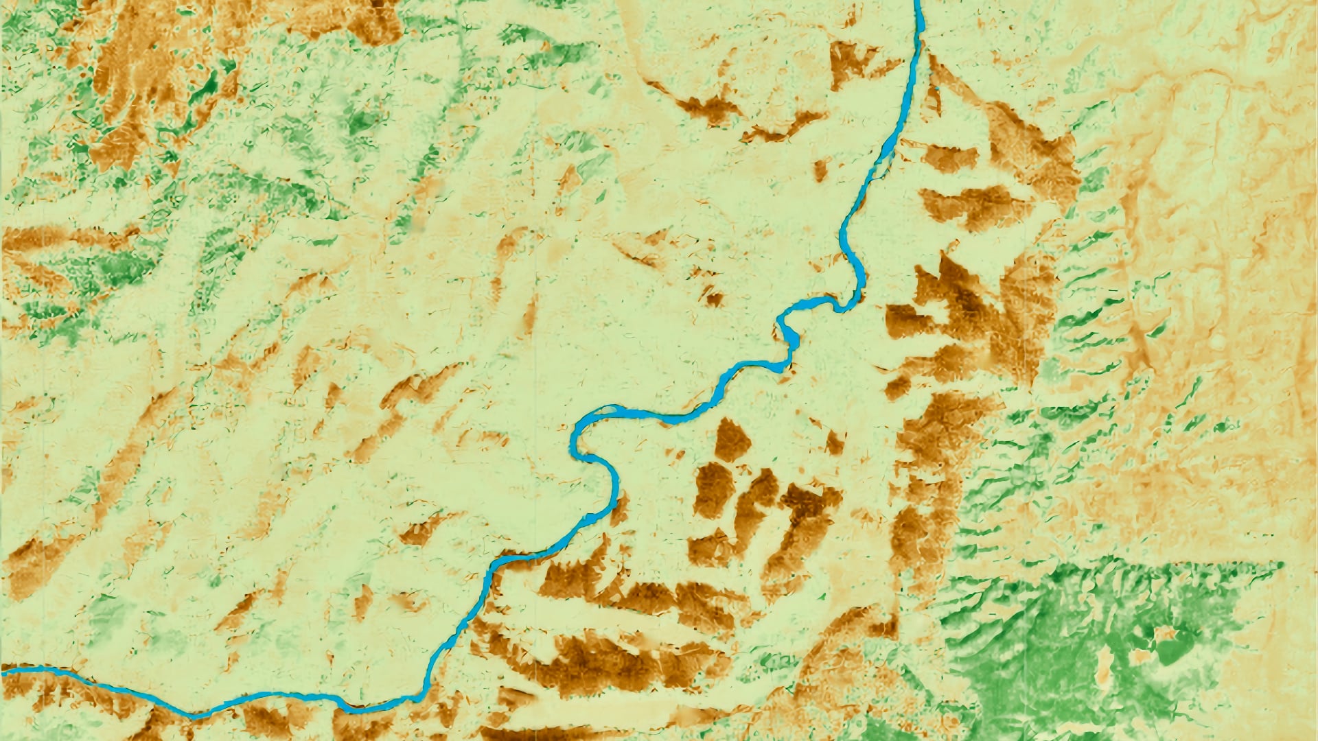
Native plant species in the Colorado River Basin are currently threatened by non-native species that are changing resource competition dynamics. Monitoring native species is essential for understanding changes in plant health throughout the year as well as how species’ distributions change inter-annually. However, current monitoring of species is limited to local efforts and cannot be efficiently conducted across more extensive regions of the basin. Project partners, including the USA National Phenology Network, United States Geological Survey, and Educating Children Outdoors, provided data and on-the-ground expertise to assist the project. NASA Earth observations, including Landsat 8 Operational Land Imager (OLI), Aqua and Terra Moderate Resolution Imaging Spectroradiometer (MODIS), and Sentinel-2 MultiSpectral Instrument (MSI) from the European Space Agency, provided remote sensing data that covers the large spatial extent of the basin. This study combined both data sources over the study period of 2013 – 2019 and explored the relationship between on-the-ground phenology observations and remotely sensed phenology signals. The team found that pairing the datasets required spatial coordinates to be accurately logged and that it was necessary to have consistent observations throughout the year by citizen scientists. The team found promising relationships between phenology observations and the two vegetation indices, normalized difference vegetation index (NDVI) and enhanced vegetation index (EVI), when study locations were in an area with a high proportion of vegetation within a satellite pixel. The results and methods outlined in this study create new opportunities to leverage remote sensing alongside citizen science data for widespread monitoring of non-native species.
