New Hampshire Ecological Conservation (2023 Spring)
Team: Jane Zugarek (Project Lead), Madison Arndt, Jessica Gray, Amelia Untiedt
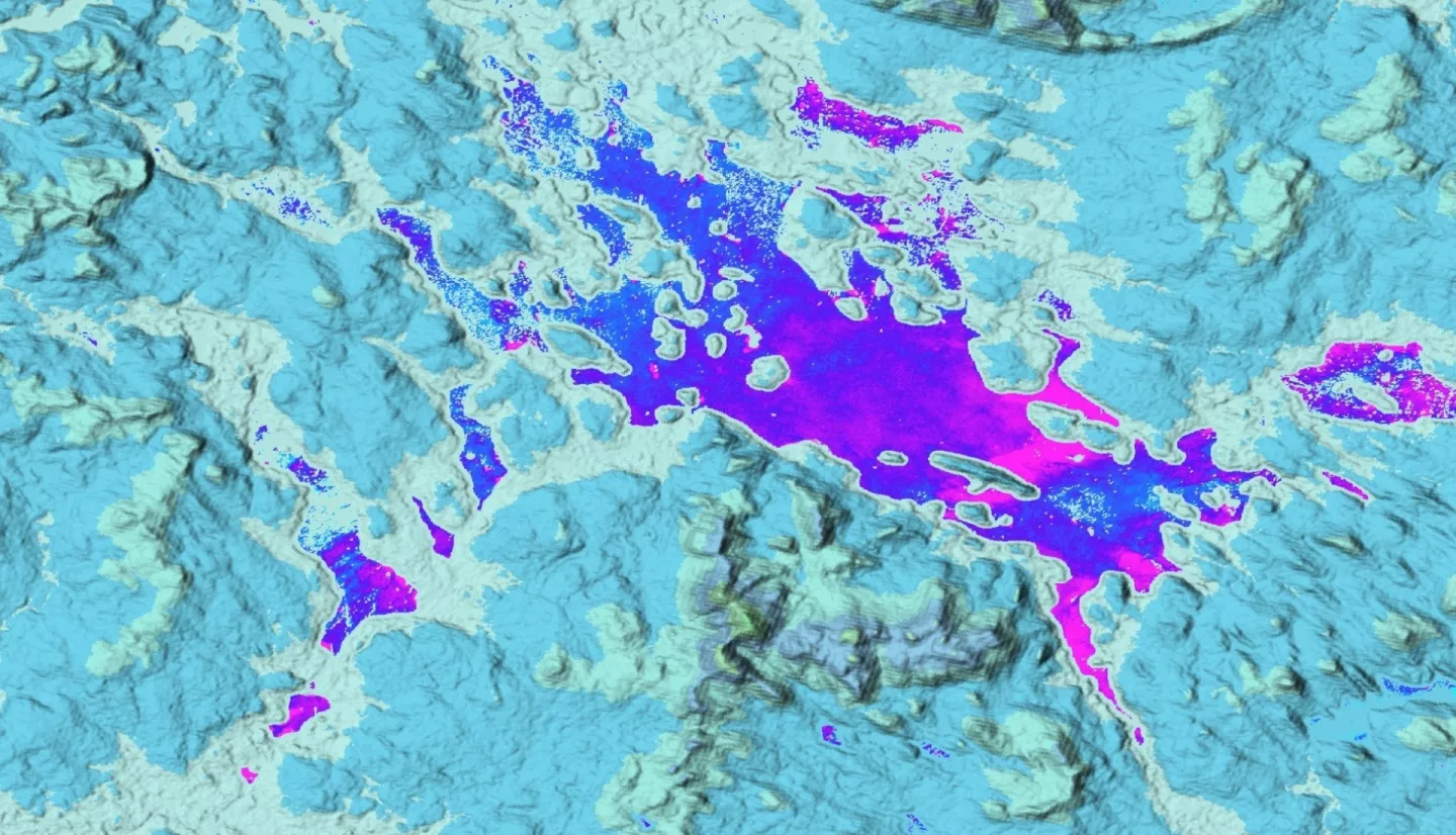
Summary: Bioindicator species monitoring allows researchers to infer the overall ecological health of a given area. Among these species, the Common Loon (Gavia immer), occupies the land-water interface on lakefront habitats in New Hampshire (NH) which exposes nest sites to human encroachment. In collaboration with the Loon Preservation Committee (LPC), we utilized NASA Earth Observations to predict future conflicts between loon habitats and human development in New Hampshire. Land use land cover (LULC), water clarity, and land surface temperature (LST) were analyzed to determine habitat suitability for loons. We used land cover classifications from the National Land Cover Database (NLCD) to analyze development around eight NH lakes (Canobie, First Connecticut, Massabesic, Newfound, Onway, Squam, Umbagog, and Winnipesaukee) from 2001 to 2019. Terra Moderate Resolution Imaging spectroradiometer (MODIS), Landsat 5 Thematic Mapper (TM), and Landsat 8 Operational Land Imager (OLI) data provided land surface temperature between 2000 and 2022. Additionally, we utilized Landsat 8 Operational Land Imager imagery to estimate water clarity between 2013 and 2022. LULC analysis identified areas of development around each lake for 2001, 2019, and land suitable for future development as of 2019. Assessment of mean summer LST revealed that loons' presence persists, despite increasing temperatures. We observed increased average water clarity in lakes that were more developed, in general the southernmost lakes analyzed within NH. We synthesized these results to assist the LPC in future conservation efforts.


