Imagen
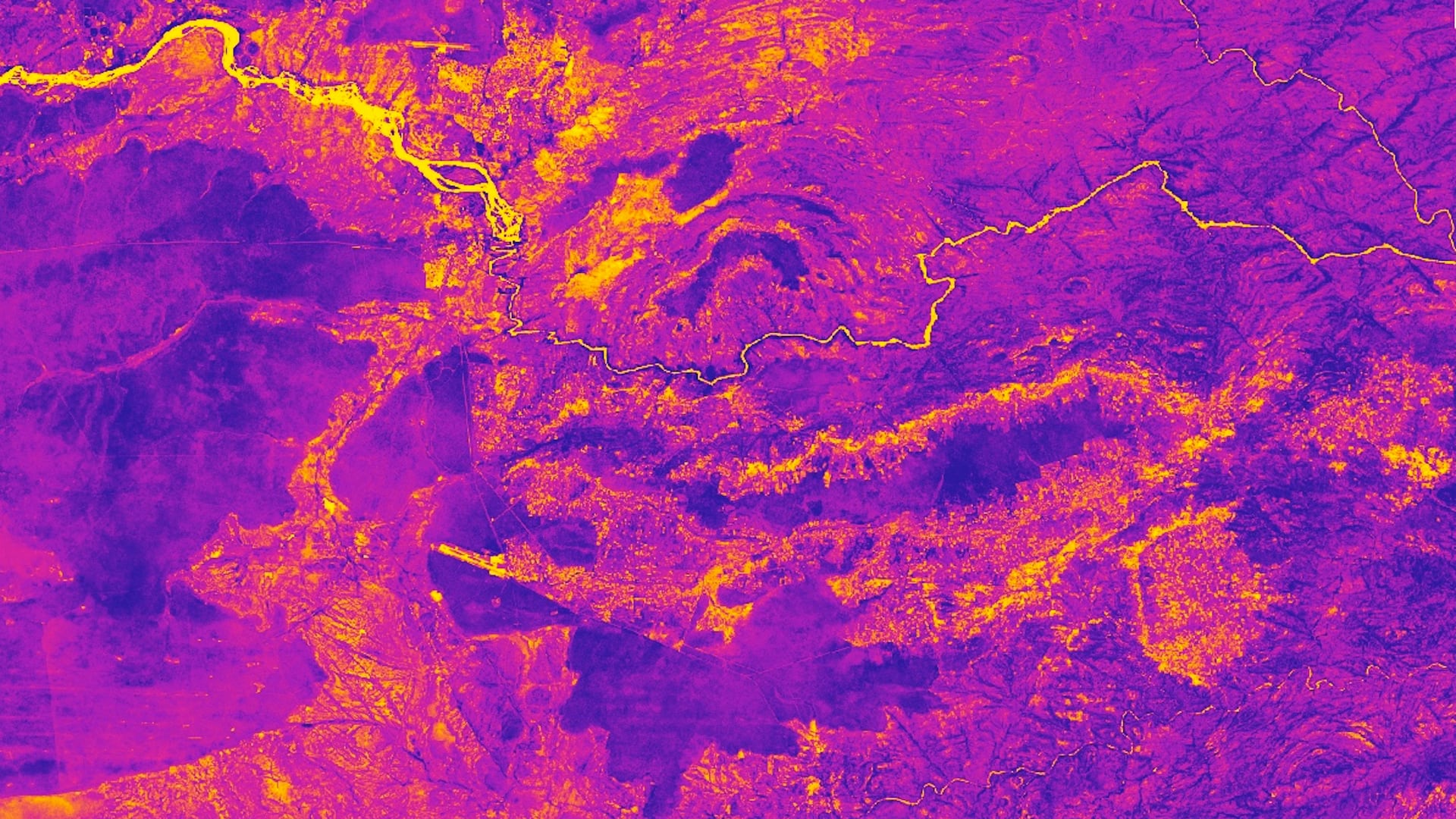
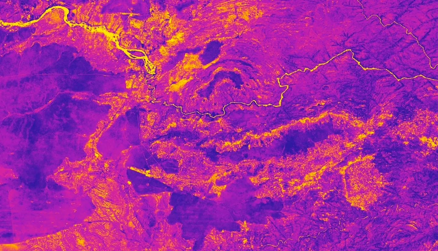
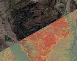
Human-wildlife conflict is increasingly more common due to human population growth, habitat fragmentation, and changing climatic conditions. This conflict is particularly evident in the Kavango-Zambezi area, where over three million people share the landscape with an abundant megafauna population. As the changing climate continues to exacerbate drought severity and subsequent food availability, conflict between humans and wildlife has become more prevalent. In the Kavango-Zambezi area, conflict between elephants and humans has resulted in crop loss, property damage, and threats to public safety. In order to manage current and future conflict, The Ecoexist Project and Connected Conservation have been working to empower farmers and conserve the natural habitat. This DEVELOP project employed Earth observations to conduct a time series analysis of vegetation health change, elephant movement, and climate conditions, from 2017 to 2020. Data were aggregated into the wet (November through April) and dry (May through October) seasons. The resulting analysis demonstrated the potential to use Landsat 8 Operational Land Imager (OLI), Global Precipitation Measurement’s Integrated Multi-satellite Retrievals for GPM (GPM IMERG), and TerraClimate data to identify potential areas of conflict under increased seasonal variability. An improved understanding of conflict drivers will help support sustainable wildlife conservation and food security in the future.