Wichita Climate II (Fall 2022)
Team: Ritisha Ghosh (Project Lead), Richard Kirschner, Ria Mukherjee, Raina Monaghan
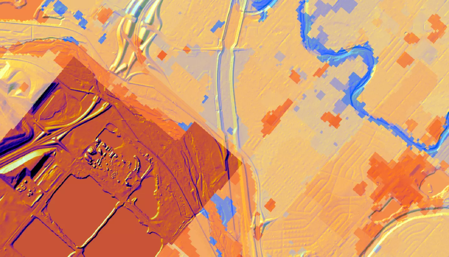
Summary: Wichita, Kansas is experiencing a host of climate threats, particularly extreme heat manifested through Urban Heat Islands (UHI). Heat is unevenly distributed within cities due to factors such as income inequality, historical discriminatory practices like redlining, and divestment in neighborhoods of color. This leads to less vegetation and more heat-absorbing infrastructure in specific communities. Moreover, adverse effects of heat, including heat-related morbidity and mortality, disproportionately impact populations that experience vulnerability through social inequities and structural discrimination. Heat vulnerability is a combination of the factors of heat exposure, sensitivity, and adaptive capacity, and can be harnessed to guide urban heat interventions. This DEVELOP project partnered with the City of Wichita to understand the spatial distribution and drivers of UHIs and heat vulnerability indicators. The team modeled outcomes of tree cover interventions using Landsat 8’s Thermal Infrared Sensor (TIRS) and Operational Land Imager (OLI), Landsat 9 Thermal Infrared Sensor 2 (TIRS-2) and Operational Land Imager 2 (OLI-2), and the International Space Station’s Ecosystem Spaceborne Thermal Radiometer Experiment on the International Space Station (ECOSTRESS) sensor, along with the Integrated Valuation of Ecosystem Services and Tradeoffs (InVEST) Urban Cooling model. The team also leveraged statistical analysis by implementing principal component analysis to develop a heat vulnerability index (HVI) specific to Wichita. Ultimately, the project’s outputs will inform the City of Wichita’s Climate Adaptation and Mitigation Plan, identify priority areas for heat mitigation initiatives, and be used in public-facing communications to educate communities on the impacts of urban heat.
Deliverables:
Related Impact