Imagen
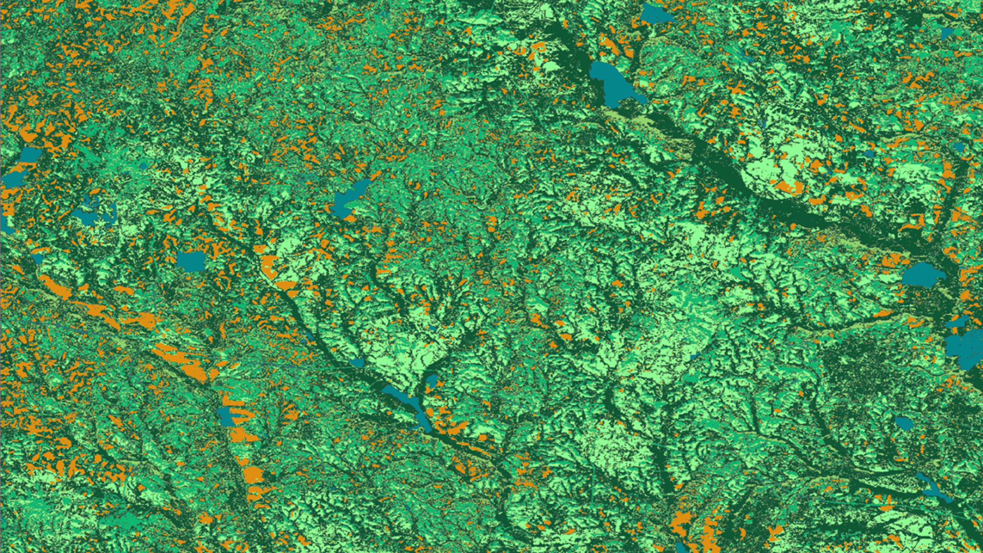

Solar energy is a rapidly growing industry in the state of Georgia. The increasing popularity of solar farms has encouraged decision-makers and developers to incorporate a sustainable plan for utility-scale solar developments. However, the construction and siting of solar farms could have a threatening impact on environmentally sensitive habitats and associated species. NASA DEVELOP partnered with The Nature Conservancy and the Georgia Department of Natural Resources to conduct an analysis to inform solar site planning and to communicate with key stakeholders. The team analyzed land cover trends from Landsat 8 Operational Land Imager (OLI), in addition to solar insolation data sets from Terra's Clouds and the Earth's Radiant Energy Systems (CERES) sensor. These Earth observations were combined to classify and extract data layers for a solar site suitability and conflict identification model following the Land Use Conflict Identification Strategy (LUCIS). Additionally, the DEVELOP team utilized habitat layers of the endangered gopher tortoise (Gopherus polyphemus) primarily due to its role as a keystone species in these sensitive areas. These data were used to generate end products that depict potential conflicts between ideal solar energy sites and endangered species habitats, and prioritize development areas outside of these conflicts. The team examined potential conflicts in Decatur and Taylor counties with additional datasets on existing solar utility infrastructure and parcel data to provide a local-level analysis. The results of this project will be utilized by The Nature Conservancy and Georgia Department of Natural Resources to recommend suitable sites for environmentally conscious solar farm construction.