ORCAA 2.0 Water Resources (Spring 2022)
Team: Tasos Tentoglou (Project Lead), Eleda Fernald, Adam Weingram, David Carrasco Rivera
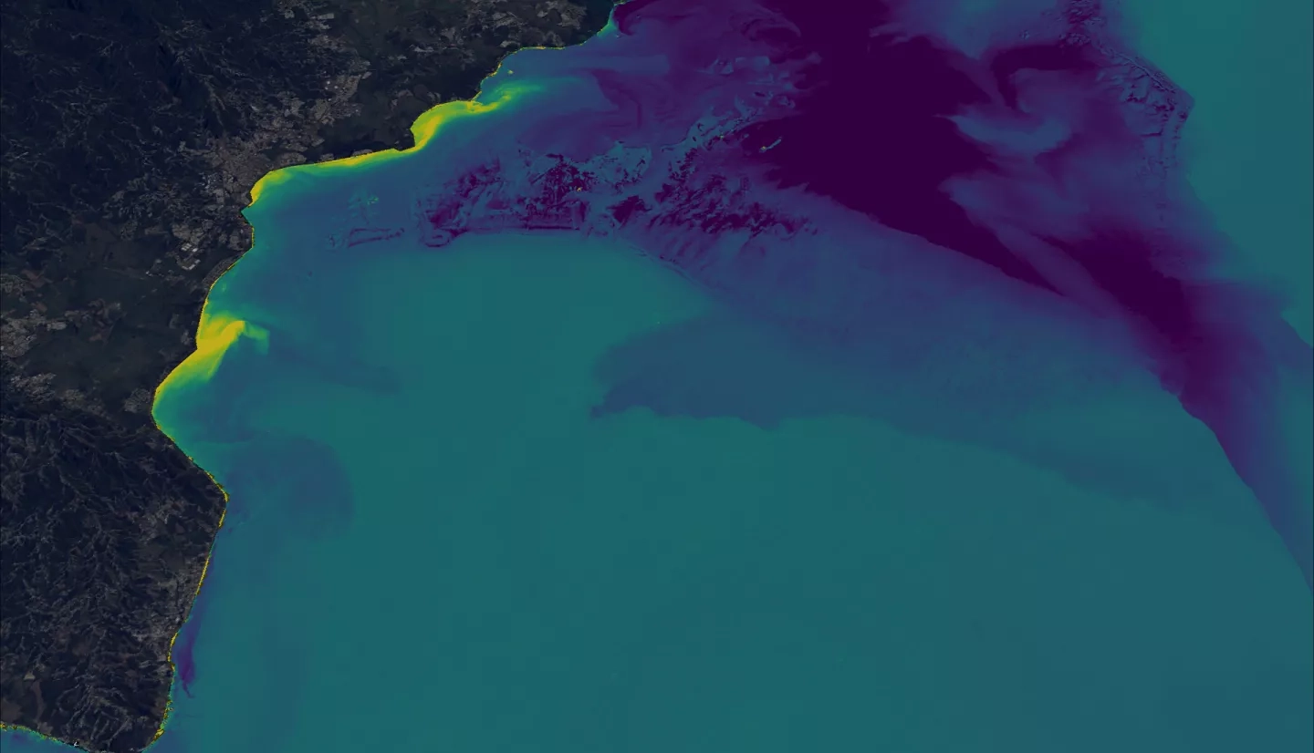
Summary: Initially developed by the Belize & Honduras Water Resources I/II teams, the Optical Reef and Coastal Area Assessment tool (ORCAA) is a Google Earth Engine application that allows stakeholders to effectively monitor coastal water quality within the Mesoamerican Reef. Utilizing Earth observations from Landsat 8 Operational Land Imager (OLI), Sentinel-2 MultiSpectral Instrument (MSI), and Aqua and Terra Moderate Resolution Imaging Spectroradiometer (MODIS), ORCAA outputs imagery and time series of turbidity, color dissolved organic matter (CDOM), chlorophyll-a (Chl-a), and sea surface temperature (SST) at a temporal range from 2013 to present. These outputs have enabled partners to better address declining water quality conditions by informing policy initiatives to maintain the region’s environmental and economic health. The ORCAA 2.0 update includes additional Chl-a and aquatic vegetation monitoring indices and an extended temporal range from 1984 to present through the addition of Landsat 5 Thematic Mapper (TM) and Landsat 7 Enhanced Thematic Mapper Plus (ETM+) imagery inputs. The team performed validation studies on the tool's outputs by comparing the processed imagery and time series data against ground truth bio-optical data at several shallow coastal locations around Earth. The updated tool's restructured codebase and broadened temporal and spatial capabilities enable improved water quality monitoring in coastal areas.
Related Impact