Okefenokee Water Resources (Spring 2022)
Team: Brianne Kendall (Project Lead), Kyle Steen, Hailey Schmidt, Laramie Plott
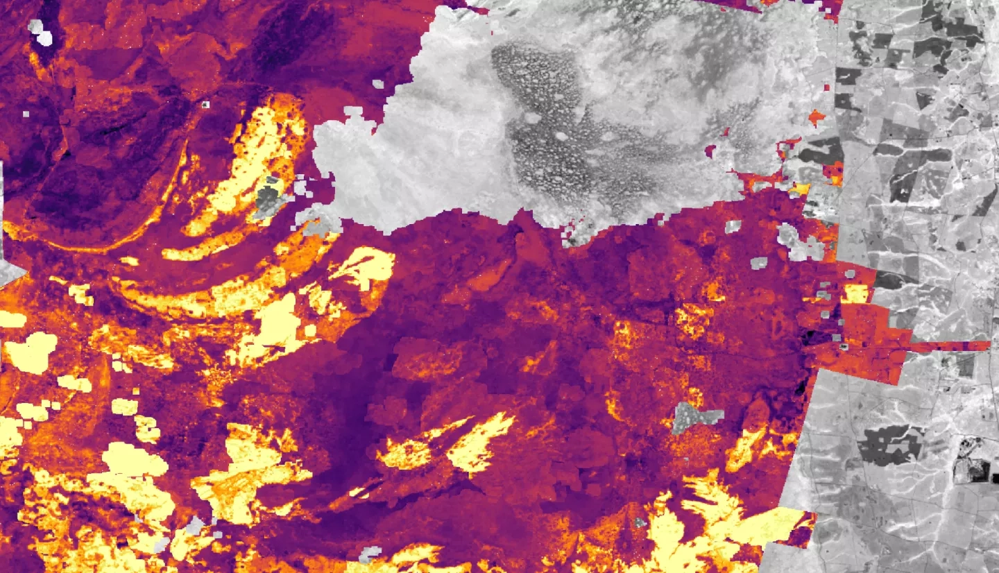
Summary: The Okefenokee Swamp is a vital ecosystem known for its protection of biodiversity, peatland carbon sinks, and recreational and economic opportunities for local residents. The swamp has experienced several wildfires since the 1990s, and new development along the borders of Okefenokee National Wildlife Refuge (ONWR) threatens to alter hydrologic activity and increase fire frequency. NASA DEVELOP partnered with staff at the ONWR to determine the feasibility of using satellite imagery to assess wildfire risk and map changes in vegetation cover. Using data from NASA satellites Landsat 7 Enhanced Thematic Mapper Plus (ETM+) and Landsat 8 Operational Land Imager (OLI), Soil Moisture Active Passive (SMAP) data from the USDA’s Crop Condition and Soil Moisture Analytics Tool (Crop-CASMA), European Space Agency (ESA) Sentinel-1 C-Band Synthetic Aperture Radar (C-SAR), and Sentinel-2 Multispectral Instrument (MSI), the DEVELOP team assessed the relationship between hydrologic change, vegetation cover, and wildfire risk in the swamp. Results showed that the southern portion of ONWR has been burned the most since 1990 and also has greater water stability than other areas of the refuge. The team also found that the largest pockets of mature forests remain in the northernmost regions. Soil moisture anomaly readings may serve as an indicator of fire conditions. The team used these results to create a vegetation map, a swamp water visibility time-series map, a historical wildfire correlation analysis, and a methodology tutorial. These products will assist the OWNR in making informed management decisions about the future of the Okefenokee Swamp.
