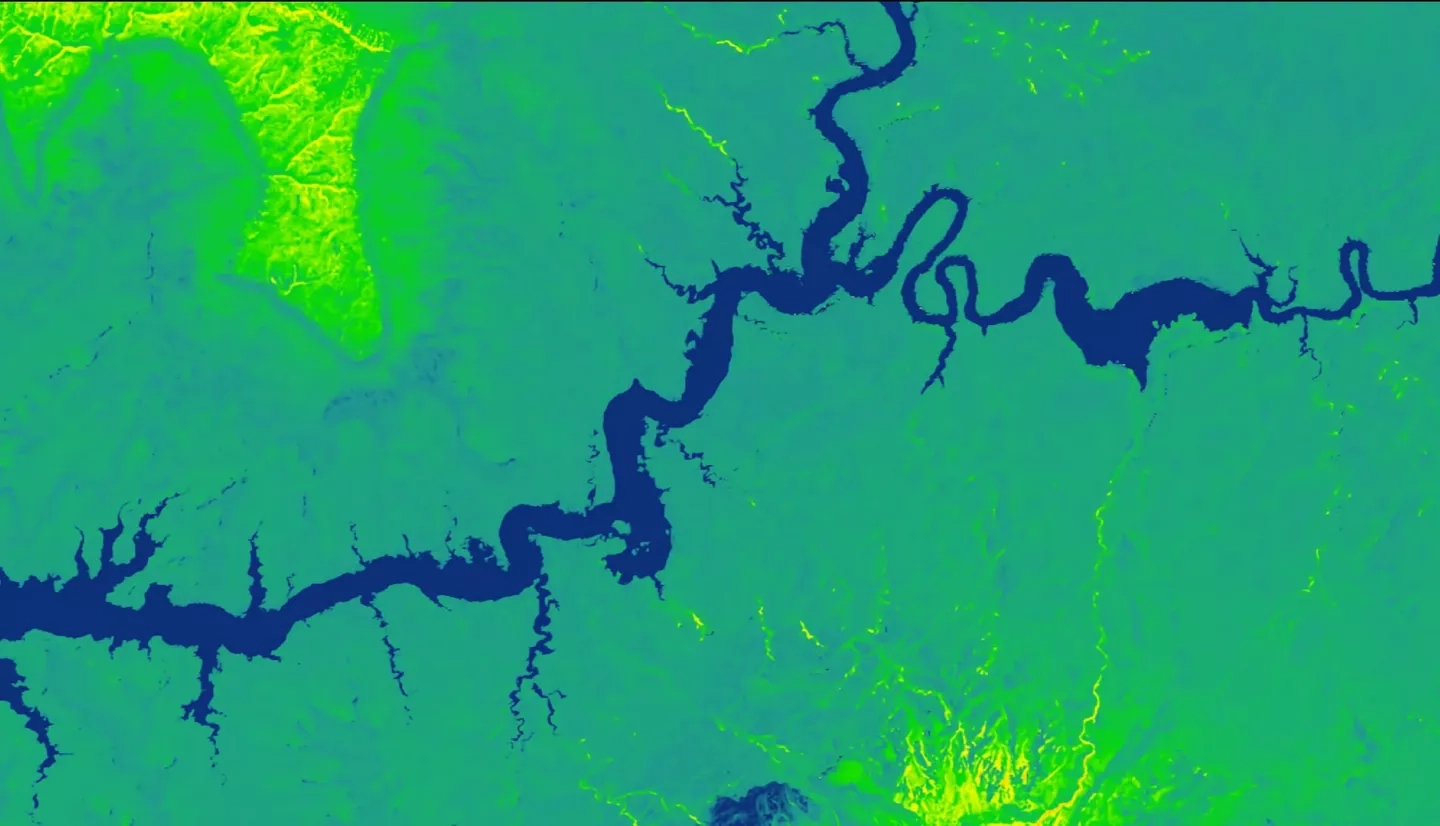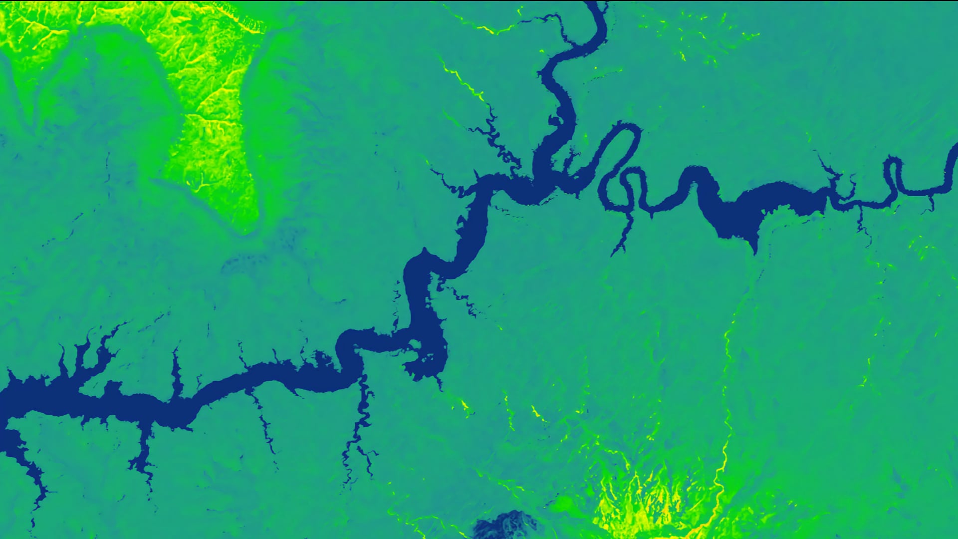
Glen Canyon National Recreation Area (NRA) contains a diverse suite of culturally and historically significant archaeological sites that are threatened by erosion and changing land cover dynamics. The National Park Service (NPS) is tasked with monitoring, studying, and preserving these archeological sites, many of which reside in extremely remote locations. At Glen Canyon NRA, perennial vegetation and cryptobiotic soil crusts help stabilize soils and mitigate erosion. The loss of such soil stabilizers is indicative of high erosion potential. This project calculated vegetation indices and generated a time series of vegetation and cryptobiotic soil crust maps across the entire extent of Glen Canyon NRA using Landsat 5 Thematic Mapper (TM), Landsat 7 Enhanced Thematic Mapper Plus (ETM+), Landsat 8 Operational Land Imager (OLI), and Sentinel-2 Multispectral Instrument (MSI) data for the years 1995 to 2018. The project team then used multiple vegetation analyses from across the study period to provide an assessment of year-over-year loss and gain in stabilizing vegetation and cryptobiotic soil crusts. This approach allowed for a comprehensive assessment of vegetation and soil stabilization across a broad region that could not be assessed by traditional ground-based means. Finally, the team used these vegetation analyses as inputs into a predictive model and produced forecasted vegetation distribution maps through 2022. Land managers and archeologists at the NPS can use the results of this work to prioritize the monitoring and management of important archeological sites that could otherwise be lost to erosion.
