Imagen
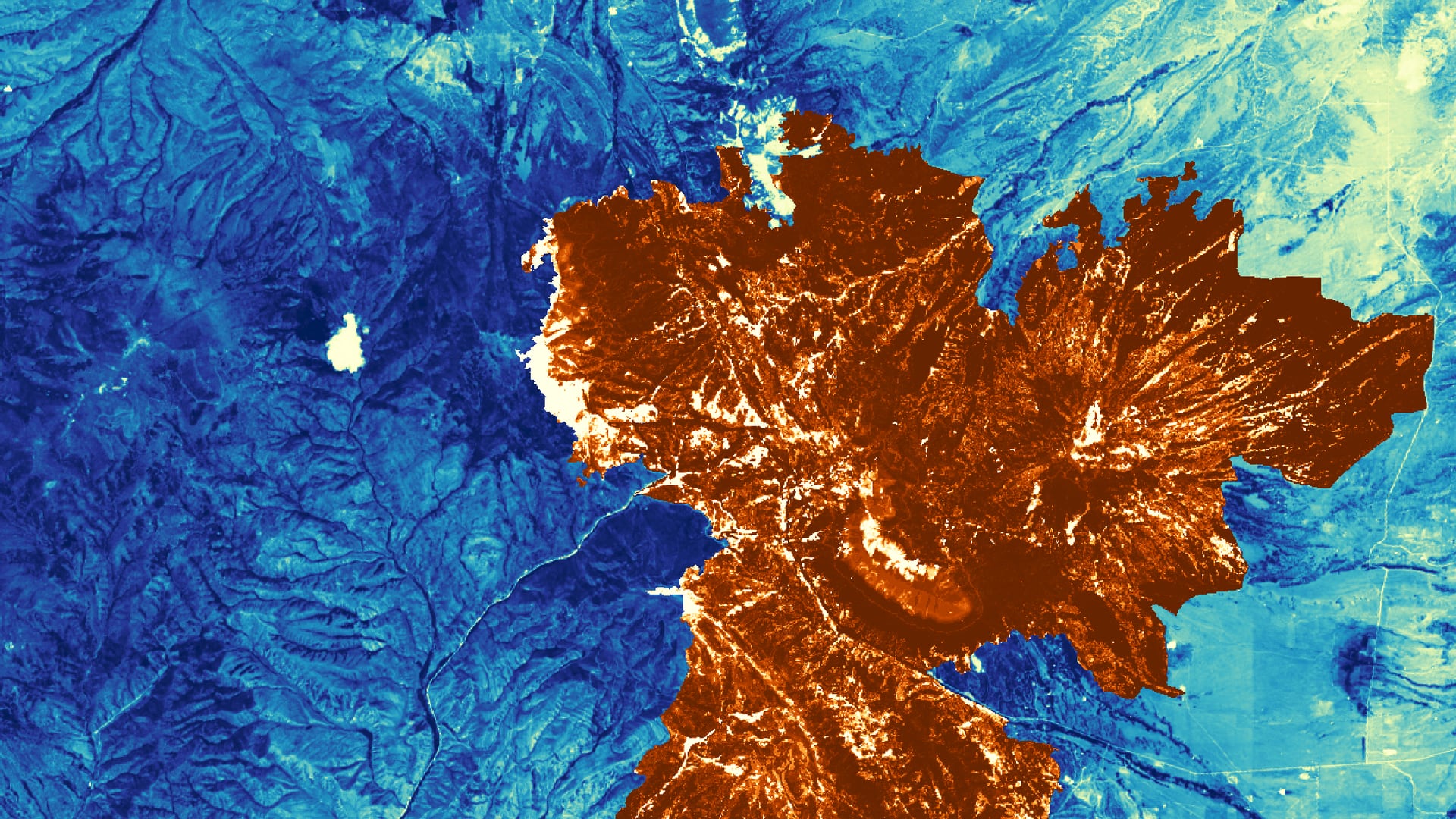
Quaking aspen (Populus tremuloides) is an important species for wildlife, watershed health, and ecosystem resilience across its range. Heavy ungulate browsing and factors influenced by a changing climate including seasonal temperature changes and moisture deficit have led to reduced post-fire aspen regeneration rates in southern Colorado. This project partnered with Trinchera Ranch and the Colorado State Forest Service to estimate aspen recovery after the Spring Creek Fire, which ignited in June of 2018. The Southern Colorado Disasters team utilized field measurements and satellite imagery from Landsat Operational Land Imager (OLI), Sentinel-2 MultiSpectral Instrument (MSI), and the Shuttle Radar Topography Mission (SRTM) to train and run several random forest models that detect pre- and post-fire aspen extent. Ocular sampling of over 500 points on high-resolution pre-fire and post-fire images identified percentage aspen cover in 30 x 30-meter grid cells. This process provided training data for regression models, which were able to detect aspen across the landscape for both time periods using multiple remote sensing vegetation health indices. In addition, landscape suitability for aspen regeneration was modeled to provide a guide for managers on where to monitor for aspen regeneration post-fire.