Imagen
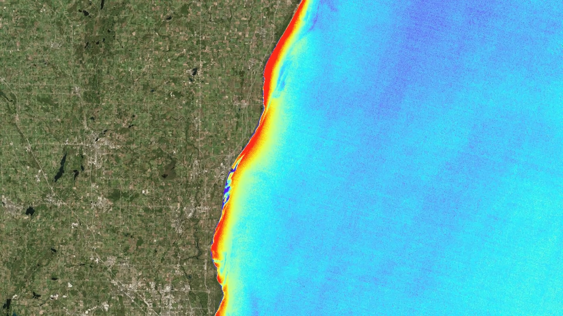
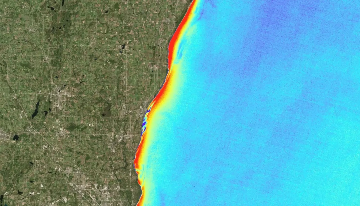
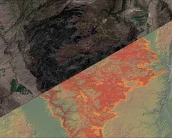
Changing lake conditions, such as rising temperatures and phosphorus cycling by invasive Dreissenid mussels, have made washup of the green macroalgae Cladophora glomerata a consistent problem on beaches in Milwaukee County, presenting a threat to both wildlife and the local economy. Groundwork Milwaukee (GWMKE), a nonprofit organization, seeks to remove Cladophora from beaches along the Milwaukee County shoreline. To aid GWMKE’s cleanup planning efforts, the previous NASA DEVELOP Lake Michigan Water Resources I team created a habitat suitability map for Cladophora and utilized bathymetry, nearshore structures, and population density to create a predictive washup map. Our team continued their work by creating a user-friendly ArcGIS tool that predicts where Cladophora is most likely to wash ashore. The new tool utilized chlorophyll-a spectral signatures and the Floating Algae Index (FAI) as a proxy for Cladophora detection from Landsat 8 Operational Land Imager (OLI) and Sentinel-2 Multispectral Instrument (MSI) satellite imagery. Surface water currents were incorporated to predict Cladophora transport. The tool processed data for the study period of June to September, 2016 to 2018, and the outputs were compared with in situ data of Cladophora washup. With the assistance of the Predictive Washup Tool, GWMKE will be able to more accurately predict the location of Cladophora washup and effectively manage their future cleanup efforts, making the beaches safer and more enjoyable for the community.