Imagen
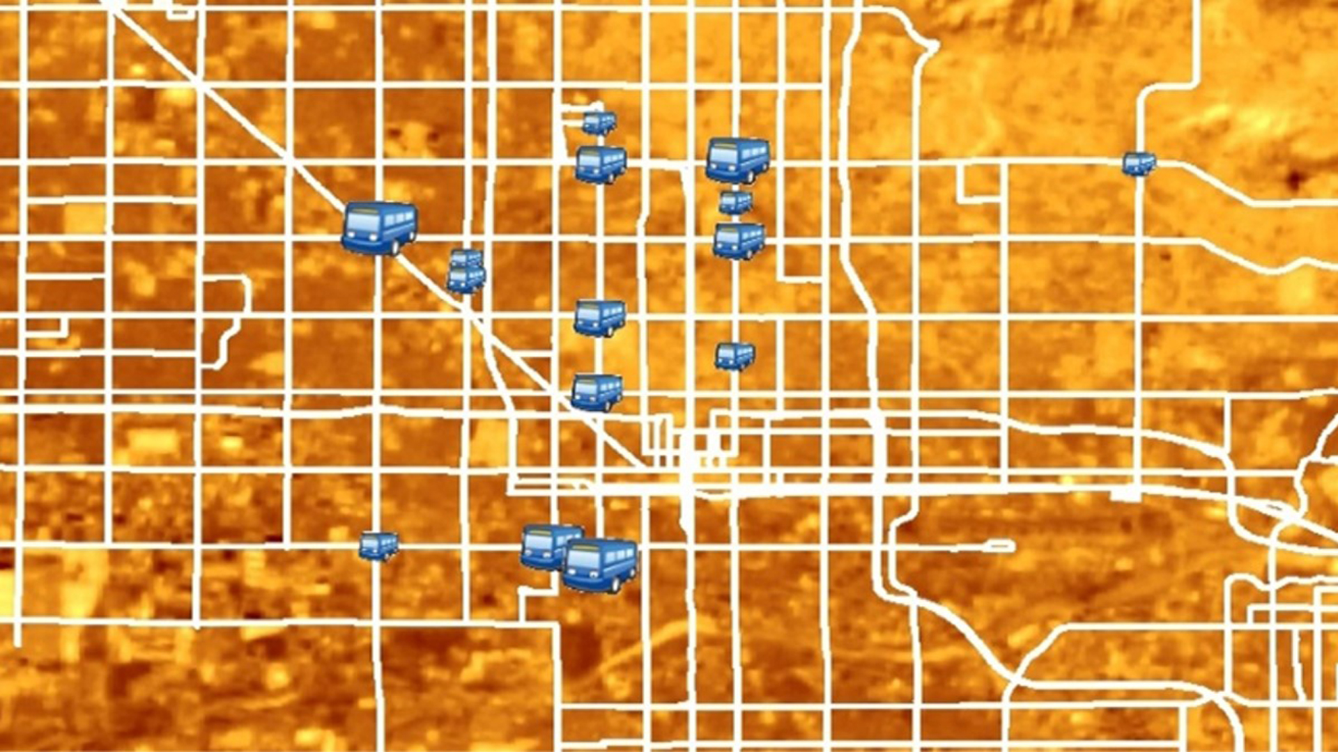
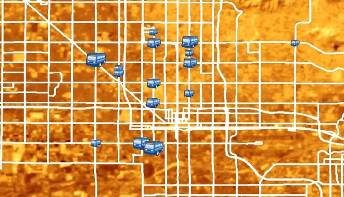
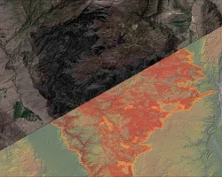
Phoenix, Arizona, a city with 1.5 million residents, experiences extreme heat every year from May through October, with summer daily maximum temperatures regularly rising over 100°F and a record high temperature of 122°F. Residents are prone to thermal discomfort during these summer months, especially those who rely on public transportation, making environmental heat a significant public health concern. The City of Phoenix Public Transit Department is heavily invested in addressing this concern through infrastructure development aimed at reducing riders' heat exposure at bus stops. The department's previous method of determining priority for improvements such as shade structures was based solely upon ridership. The NASA DEVELOP team provided the transit department with an analysis of the thermal environment at city bus stops, data which may be used when prioritizing the installation of new shade structures at unshaded stops. Land surface temperature (LST) from Landsat 8 Operational Land Imager (OLI) and in situ LST and air temperature measurements were collected to provide a better understanding of the thermal environment at transit stops. LiDAR data were used to extract building heights in order to examine secondary shade potential within the thermal environment. We also created an assessment of the vulnerability of riders based on a selection of demographic and socioeconomic characteristics of the surrounding area. These results will contribute to the Phoenix Transit Department's efforts to reduce the risk of heat-related illness for transit riders across the city and promote the viability of public transportation to achieve long-term health and sustainability goals.