Imagen
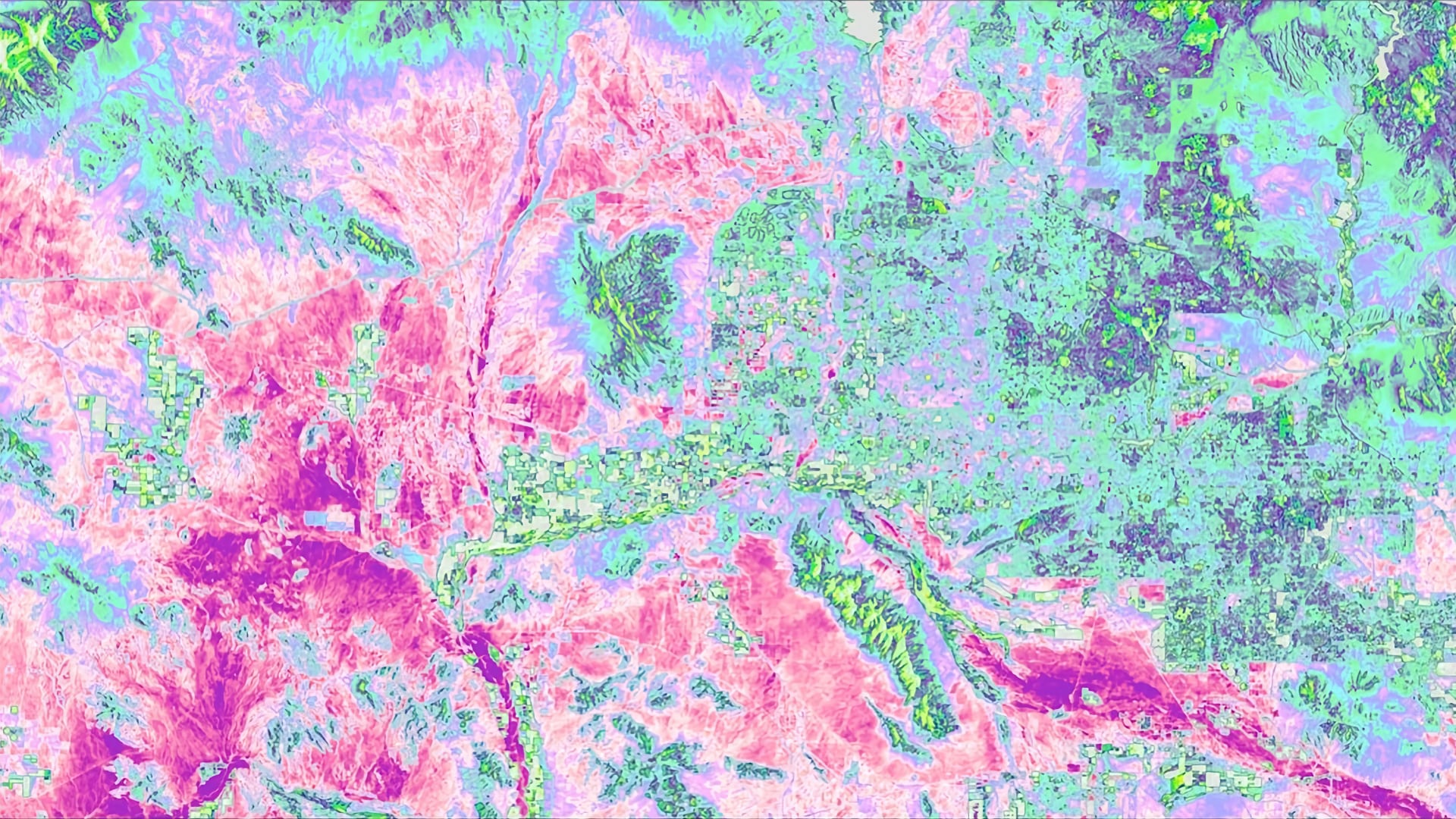

Located in the northern Sonoran Desert, Tempe, Arizona, regularly experiences extreme heat, with summer daily maximum temperatures reaching over 100°F. The rapid urbanization of the region in the last 50 years has caused a steady increase in the mean daily air temperature due to the urban heat island (UHI) effect. Recognizing that urban forestry has been documented to mitigate the effects of UHIs through the processes of evapotranspiration and shading, the City of Tempe created an Urban Forestry Master Plan (UFMP) in 2017 in an effort to improve the thermal environment of its parks and green spaces. In partnership with the City of Tempe and the Arizona State University (ASU) Urban Climate Research Center (UCRC), the fall 2018 Tempe Urban Development DEVELOP team used Landsat 5 Thematic Mapper (TM) and Landsat 8 Operational Land Imager (OLI) and Thermal Infrared Sensor (TIRS) satellite imagery to identify changes in the normalized difference vegetation index (NDVI) and land surface temperature (LST) from 1998 to 2018. Combined with United States Geological Survey (USGS) lidar tree point data and Central Arizona-Phoenix Long-Term Ecological Research (CAP LTER) Land Cover Classification data using National Agriculture Imagery Program (NAIP) imagery, the team examined the correlation between tree clustering, land cover, and LST in city parks. The City of Tempe can use these results to inform residents and developers about how investment in deliberate urban forestry improves the city’s thermal environment and helps mitigate extreme heat.