Description
According to a UN report1, between 1998 and 2017, the U.S. alone lost $944.8 billion USD from disasters. Between 1978 and 2017, losses from extreme weather events rose by 251 percent. It is critical to develop disaster management strategies to reduce and mitigate disaster risks. A major factor in regional risk assessment is evaluating the vulnerability of lives and property to disasters. Environmental information about disasters, their spatial impact, and their temporal evolution can play an important role as well.
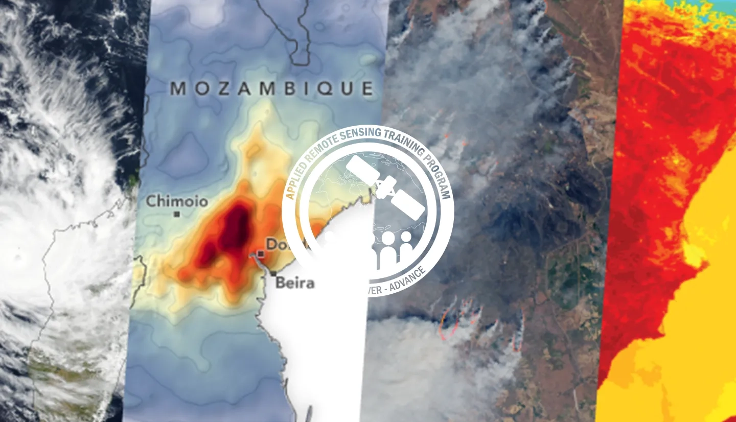
This webinar series will focus on Earth observation (EO) data useful for disaster risk assessment. The series will cover disasters including tropical cyclones, flooding, wildfires, and heat stress. The training will also cover access of socioeconomic and disaster damage data. Sessions 3 & 4 will cover case studies and operational applications of EO for disaster risk assessment.
Relevant UN Sustainable Development Goal: Target 13.1: Strength, resilience, and adaptive capacity to climate-related hazards and disasters in all countries.
By the end of this training, attendees will:
- Learn about available NASA remote sensing and socioeconomic data and how to combine them for assessing risk
- Understand how to apply these data for assessing risk from floods and tropical cyclones in specific regions
- Learn how operational agencies are using NASA data for risk management
The audience for this training are local, regional, state, federal, and international entities, including public and private sector organizations, engaged in disaster management, emergency responders, urban and infrastructure planners.
- Four, 2-hour sessions
In this part, attendees will learn basic concepts and definitions in disaster risk management. Attendees will also learn about the types of satellites and socioeconomic data available through NASA for disaster risk management.
Materials:
In this part, attendees will learn a methodology for analyzing remote sensing and socioeconomic data to assess flood and cyclone risk. Examples will be shown for an urban area (Houston, TX, USA) and a country (Mozambique). These case studies will use both historical and forecast data.
Materials:
This part will cover two case studies for using remote sensing data. One on how New York state is using NASA data for heat wave risk assessment, another on the freely available online tools from the World Resources Institute for visualizing NASA remote sensing and socioeconomic data.
Materials:
In this part, the Pacific Disaster Center will describe the data, applications, and strategies they use for disaster risk reduction, response, and relief operations.
Materials:


