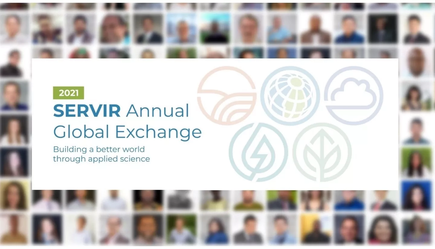
Persistence. Innovation. Teamwork. In the spirit of the Olympics, these ideals were the theme of the first ever fully-virtual SERVIR Annual Global Exchange (SAGE). Held in March, the SAGE event celebrated connections and accomplishments spanning SERVIR’s hubs and offices around the world. At the cornerstone of this mission, the SERVIR Applied Sciences Team (AST) works to build stronger and more resilient communities through research and partnerships. At this year’s plenary session for the Applied Sciences Team, discussion coalesced around exploring new opportunities for collaboration across regions and disciplines.
“I think my biggest takeaway is just the amount of amazing science going on and how we come together to try and, as was the theme in that session, pick away at low-hanging fruit to help our stakeholders” said Dr. Stephanie Spera, an AST Principal Investigator (PI) at the University of Richmond who conducts forest monitoring research with the SERVIR Amazonia hub.
The AST is an evolving network of scientists whose mission is to support SERVIR in developing and delivering services for three-year terms. Each Applied Sciences Team project applies Earth observations from NASA and other sources to support effective development and climate change decision-making around the world.
The first incarnation of the AST came together in 2011, when the NASA Research Opportunities in Space & Earth Sciences (ROSES) program provided SERVIR with a grant to support several multi-year projects aimed to better connect NASA scientific efforts with community needs in SERVIR’s five hub regions. Following initial victories in connecting remote sensing to decision-makers, a new set of AST projects were selected through the ROSES program in 2016, then again in 2020. For the current iteration of the AST (AST-3), the March 2021 SAGE meeting was an opportunity to look back and plan for a future shaped by the COVID-19 pandemic and an increased focus on climate change.
“In collaboration with our colleagues from the Centre for Remote Sensing and Geographic Information Services (CERSGIS) in Accra, we are developing remote sensing and geospatial tools that are well responsive to the needs of our stakeholders in Ghana,“ explains Dr. Jasmeet Judge of the University of Florida. She is an AST principal investigator whose team studies sustainable land management practices in West Africa. Judge is also planning to collaborate with fellow AST investigator, Dr. Pontus Olofsson of Boston University. Olofsson is a co-investigator on another NASA-funded effort called the Global Land Cover mapping and Estimation (GLanCE) which has produced land cover data which Judge plans on leveraging for her ongoing work.
Collaborations across geographies and themes are nothing new to the applied sciences team. For example, although hydrologist and AST member Dr. Jim Nelson of Brigham Young University is affiliated with the Amazonia hub; his team has compiled a database with hydrological data on every river system in the world. That resource has been valuable not only to teams at other hubs, but also to AST members whose work focuses on agriculture, land management, or disasters.
In the next few years of the AST-3 mission, collaborations are expected to become even more critical. With the pandemic creating limitations on the feasibility of fieldwork and changing the logistics of carrying out some projects, looking to fellow principal investigators at other teams for ideas and resources can be a valuable workaround. Similarly, with NASA’s Earth Sciences Division shifting towards a greater program-wide focus on climate change, a topic that is global in scale and spans all of SERVIR’s thematic areas, there is now an even greater value for conversations between disciplines and regions.
“I started a conversation about participatory mapping during SAGE and received valuable inputs from the Africa and Asia hubs,” said Dr. Naiara Pinto, an AST PI whose team models ecosystem services in the Amazon. “I’m really interested in tapping into their experience; we aim for different services but share many challenges when working with stakeholders in rural areas.”
Potential future collaborations discussed at the SAGE AST panel include scaling and replicating tools and services already implemented at one hub to the others. For example, the Regional Hydrologic Extremes Assessment System (RHEAS) is a drought-monitoring service developed in part by AST principal investigator Narendra Das, of Michigan State and NASA’s Jet Propulsion Laboratory (JPL). It has already been implemented at the SERVIR hubs in Mekong and Eastern & Southern Africa. During a break-out discussion of principal investigators working in agriculture and food security, they project that RHEAS will be available to all hubs by next year, creating new opportunities for collaborative projects. Others proposed laying the groundwork for an online clearinghouse of data from AST projects to facilitate future collaborations.
The value of the AST is not just tied to its ability to connect NASA research applications with decision-makers, but also to its ability to build and reinforce lateral connections between around the world. Climate change and development are global issues, and communities on different continents often have similar needs and goals despite geographic differences. Making Earth science relevant to decision-makers, building their capacity to use it, and then helping introduce them across regions is how the ASTs have become critical to the overall mission of SERVIR. These efforts help ensure projects’ benefits last and reach as many people as possible.
In short, collaborations not only benefit the projects themselves, but also often serve as the foundations for more long-term cooperation between the hubs themselves. The results of AST collaborations are often the building blocks of bigger and more ambitious projects, even as individual scientists come and go.
-------------------------------------------------------------------------------------------------------
SERVIR is a collaboration of NASA and USAID that uses data from Earth observing satellites to support sustainable resource management decisions and build geospatial capacity in developing regions.


