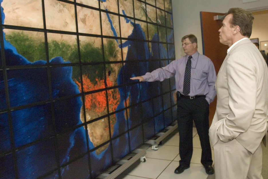
You know the saying. “Only YOU can prevent forest fires!” Now, thanks to ARSET, you can map, monitor, and analyze them from space too. On May 11th, ARSET will be starting a bilingual (English and Spanish), six-part training series called Satellite Observations and Tools for Fire Risk, Detection, and Analysis. This training will outline and demonstrate the variety of ways satellites can be used pre-fire, during-fire, and post-fire. Fires, whether naturally occurring or anthropogenic, harness tremendous destructive energy, while at the same time clearing the way for new growth. These phenomena have a profound and complex impact on the environment where they occur. Thanks to NASA satellites, we have the ability to zoom out and get the whole picture.
The first way that satellites can be used in relation to fires is by providing data on the vegetation and hydrology of an area and other conditions that contribute to fire risk. The first two parts of the training constitute the pre-fire section and will provide general background information on the topic of fires and remote sensing, and then go into detail showing how the vegetation and hydrology of an area can be used to predict fire risk. Parts 1 and 2 will also cover pre-fire mapping tools and include a demonstration and case study examples of fire risk mapping.
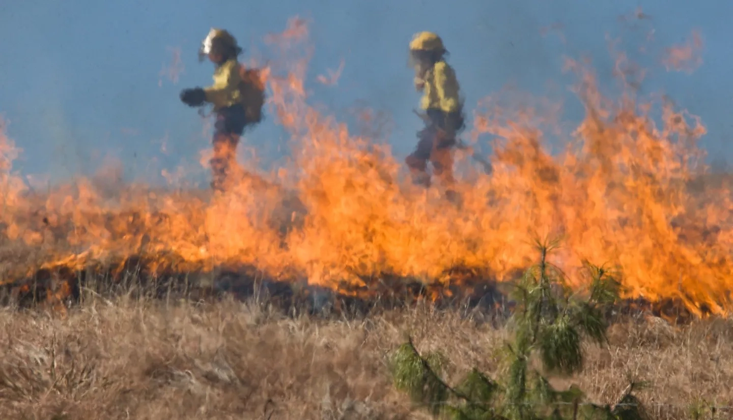
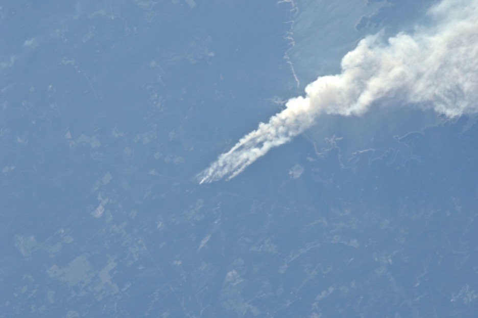
Satellites can also be used for active fire monitoring and smoke modeling and forecasting. Parts 3 and 4 of the training constitute the during-fire section, and will cover satellite observations of active fires via thermal anomalies, satellite detection of smoke, what datasets to use, and how to forecast fire in the contiguous US and globally. Case study examples will also be given showing real-life scenarios.
The third way that satellites can be used in relation to fires is post-fire. After a fire has occurred, NASA Earth observations can be used to determine burned area and its severity, changes in the terrain that may contribute to landslides or other disasters, and understanding vegetation regrowth and fire life cycle dynamics. We can map fuels and fire susceptibility, track the movement of fires, track the movement of the smoke, and observe the visible changes to the Earth’s surface that come as a result.
As you can see, the ways in which we can use remote sensing to manage fires can be as diverse as their impacts. If any or all of this information can help you in your work, research, or if you are just curious, you can register for this training at no cost using the links at the bottom. Those who participate in all six live sessions and complete the associated homework will also receive a certificate of attendance.

