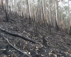
The shorelines along rivers and streams seem to be more resistant to the effects of wildfires if there are beaver dams in the area., That’s according to research led by Dr. Emily Fairfax, leading beaver research scientist at California State University Channel Islands.
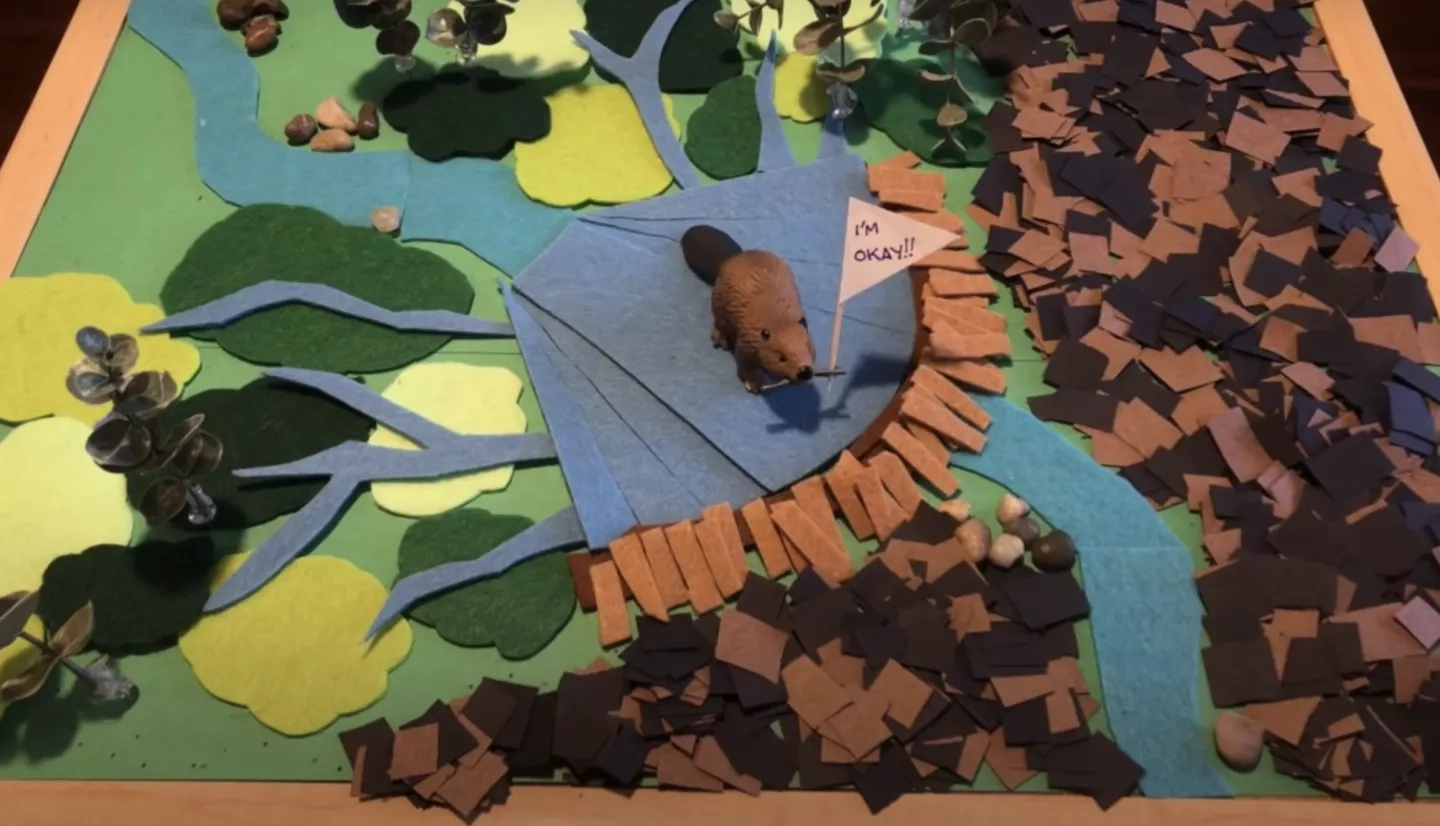
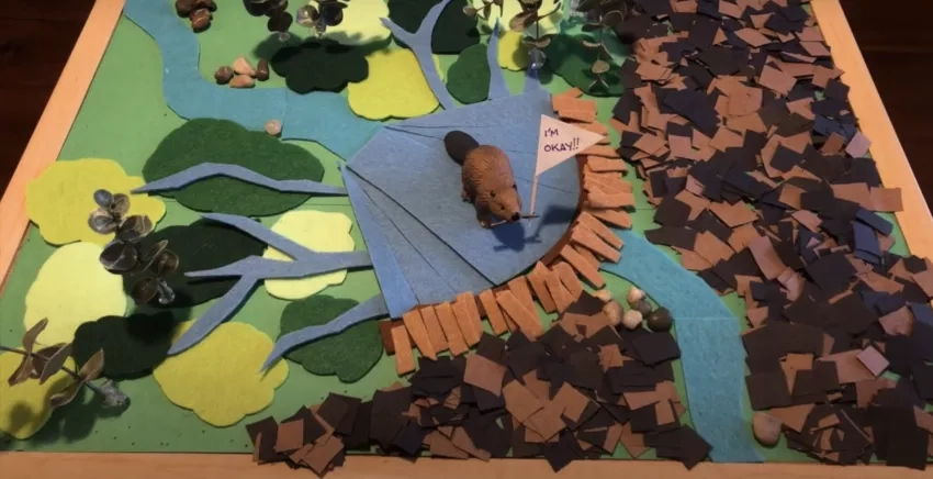
Fairfax found that the water from beaver ponds that form behind the dams, as well as the channels the beavers create branching off those ponds results in water slowly seeping into the soil, keeping plants green and protecting the area from fire. Fairfax created YouTube stop-motion animation about her work that is available at her YouTube page.
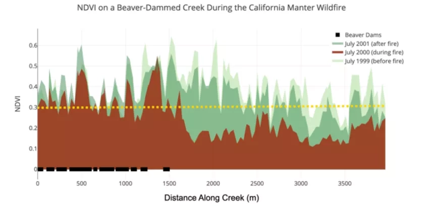
Using Landsat data, Fairfax reviewed the ‘greenness’ of plants in the area via a measurement called the normalized vegetation difference index (NDVI).
The Landsat mission is a long-running partnership between NASA and the U.S. Geological Survey (USGS). The most recent satellite in the series, Landsat 9, provides moderate resolution data, with one pixel of the data being roughly the size of a baseball diamond. That information is collected at a consistent and bi-monthly interval and the archives of all previous Landsat missions go back 50 years, providing a long-term view of the Earth.
Fairfax notes that as important as the timescale and area viewed by the Landsat mission, is the fact that the data is completely free and accessible to anyone to wants to use it. That has made Landsat a popular choice for researchers, data scientists, and the public for decades. The USGS recently estimated that users downloaded 22 million Landsat images in 2017.
David Green is the head of NASA’s Wildland Fire program area. He notes that the free and open access to Landsat data provided by the mission allows research to be done without any financial investment in the data. Per NASA’s mission- for the benefit of humanity- the data are provided for use, analysis, and study by anybody with access to a computer.
As wildfires become more frequent, and burn for a longer season during the year, researchers like Green say that it is becoming more imperative to find ways can mitigate the effects wildfires cause to communities, infrastructure, and ecosystems. Green adds, “Landsat data is an important component for building wildfire knowledge and resiliency.”