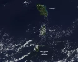
Eruptions at La Soufrière volcano have propelled ash and gas high into the air over the Caribbean islands of Saint Vincent and Barbados. The eruption—the volcano’s first explosive event since 1979—prompted thousands of people to evacuate.
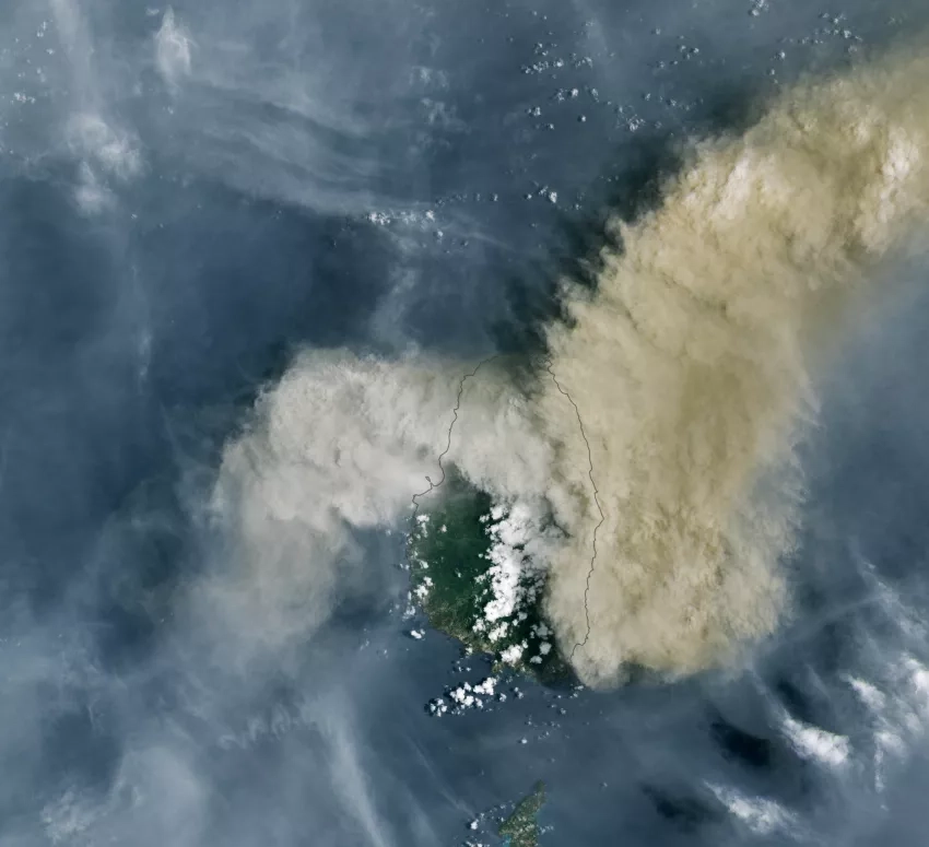
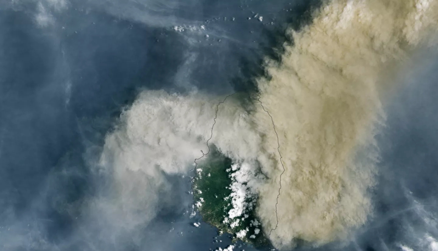
The recent bout of explosive activity began on April 9, 2021. At about 10:30 a.m. local time that day, the Operational Land Imager (OLI) on Landsat 8 acquired this image of volcanic ash billowing from La Soufrière. The plume obscures the volcano below, a peak standing 1178 meters (3,864 feet) above sea level on the northern side of Saint Vincent.
Scientists are investigating the extent and height reached of the ash and gas plume. They think some ash has risen all the way into the stratosphere, where strong winds can potentially carry it great distances. Other satellite instruments have detected sulfur dioxide reaching Cape Verde, an archipelago in the central Atlantic Ocean. Sulfur dioxide near ground level can irritate the human nose and throat; higher in the atmosphere it can make sulfuric acid aerosols and, in extreme cases, lead to a cooling effect.
The NASA Earth Applied Sciences Disasters Program is working with several science institutions and agencies to continue assessing the eruption and to make data available to emergency responders and aid groups.
Read the full story at NASA's Earth Observatory: Eruption at La Soufrière