The GIS Directions podcast, created by Esri Australia, chats with inspiring geographic information systems (GIS) users to discuss new trends in GIS and share useful geospatial tips and insights. GIS is a standardized data framework that allows for gathering, analyzing and visualizing geographic data of all types.
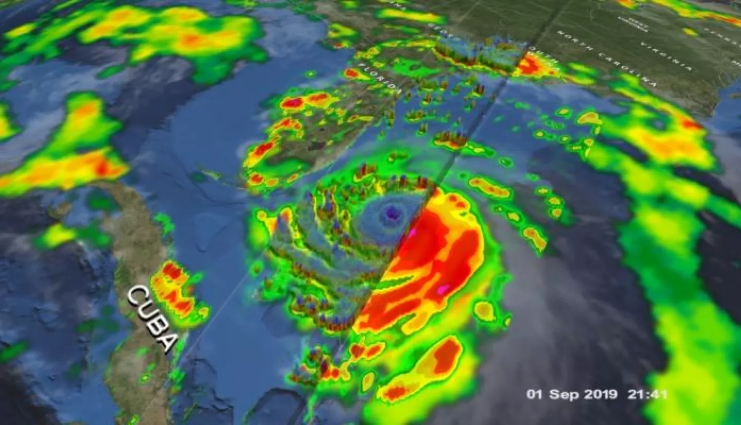
NASA Earth Applied Sciences Disasters Program GIS Lead Jeremy Kirkendall recently joined hosts Wayne Lee-Archer and Rylea McGlusky on the GIS Directions podcast. Kirkendall curates NASA’s Disasters Mapping portal, which hosts disaster-relevant research, data, and satellite imagery from across NASA as well as interactive web applications and story maps. The Disasters Program has pioneered the use of GIS technology for NASA Earth observing data, making the data easier to access for local disaster management agencies, and processing, analyzing and visualizing the data to inform risk reduction, resilience and recovery efforts for disasters around the world.
In the podcast, Kirkendall shares how to tap into a free stream of near real-time, observational data on thermal hotspots, bushfires, cyclones, flooding, landslides and more.
Hear the GIS Directions podcast, Season 1 Episode 14, “Exploring NASA’s Open Data Universe” at: https://esriaustralia.com.au/exploring-nasa-open-data-universe
This interactive GIS story map explores some of the most unique and impactful NASA Disasters Program maps and visualizations from 2020. Click here to view fullscreen.Credit: NASA


