
Published
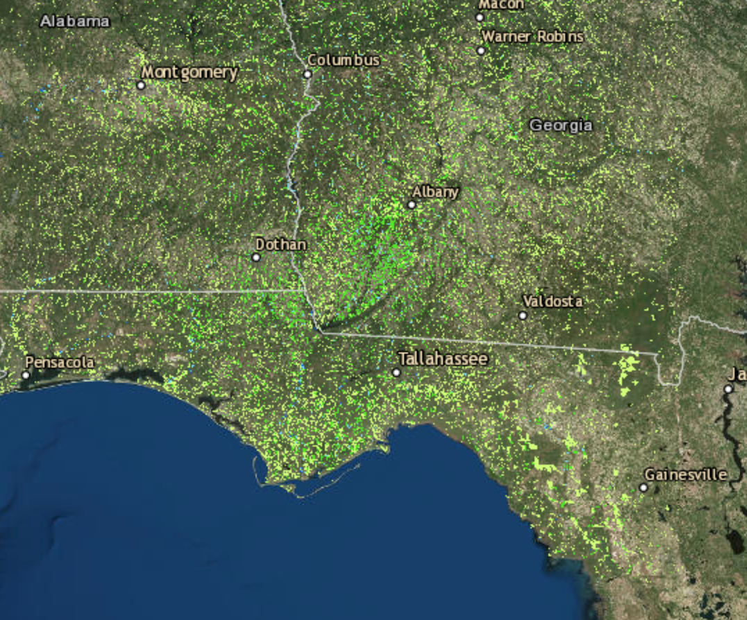
Inundation Estimate from Global Flood Monitoring System (GFMS) based on surface and river routing models using NASA Global Precipitation Measurement (GPM) Integrated Multi-Satellite Retrievals for GPM (IMERG) precipitation information. GFMS covers the globe from 50N-50S. This product shows the near real time flooding every 3 hours at 1 km resolution. This product can be used to estimate flood extent (and depth) and for comparison with other estimates from satellite and ground observations.
1011


