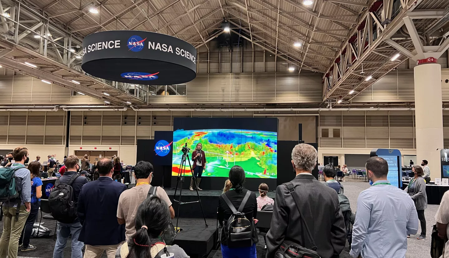
Monday, December 11
|
|
| When |
# |
What |
Where |
| 08:30 - 10:00 |
NH11A |
Advances in Early Warning and Anticipatory Action for Hydrometeorological and Hydrogeomorphic Hazards I Oral |
2010 - West (Level 2, West, MC) |
| 08:30 - 12:50 |
IN11B-0549 |
Concealed Social Vulnerability: A Community-Level Earthquake PML for Los Angeles, California with GEDI |
Poster Hall A-C - South (Exhibition Level, South, MC) |
| 08:30 - 12:50 |
A11P-2207 |
Property Level Due Diligence Reporting for Sea Level Rise Hazards |
Poster Hall A-C - South (Exhibition Level, South, MC) |
| 08:30 - 12:50 |
GC11F-0902 |
Threshold Based Regional Cropland Classification from Synthetic Aperture Radar using the Coefficient of Variation Method |
Poster Hall A-C - South (Exhibition Level, South, MC) |
| 14:10 - 18:30 |
NH13D-0723 |
NASA’s Landslide Viewer Web Application |
Poster Hall A-C - South (Exhibition Level, South, MC) |
| 14:12 – 14:22 |
GC23A-01 |
Nationwide mapping of damage to human settlements across Ukraine using Sentinel-1 InSAR coherence change detection |
2006 - West (Level 2, West, MC) |
| 14:10 - 18:30 |
IN13D |
Science Toward Openness Poster |
Poster Hall A-C - South (Exhibition Level, South, MC) |
Tuesday, December 12
|
|
| When |
# |
What |
Where |
| 08:40 - 08:50 |
G21A-02 |
A Robust PS-SBAS Processing Strategy for Interpreting InSAR Observations Over Densely Vegetated, Decorrelated Terrain |
158 - South (Upper Mezzanine, South, MC) |
| 08:35 - 08:45 |
NH21A-01 |
Novel Observing Strategies and Earth System Digital Twins for Disaster Resilience (Invited) |
2018 - West (Level 2, West, MC) |
| 10:20 - 11:50 |
G22A |
Recent Advances in SAR and InSAR Processing, Big Data Analysis, and Earth Science Applications II Oral |
158 - South (Upper Mezzanine, South, MC) |
| 08:30-10:00 |
NH21D |
Late-Breaking Contributions for the Maui and Canadian Wildfires and 2023 Cyclone Activity I Oral |
3018 - West (Level 3, West, MC) |
| 11:20 - 11:30 |
G22A-07 |
Structure, Deformation and Rheology of the Urban Hayward Fault: Where the Fault Meets the Road |
158 - South (Upper Mezzanine, South, MC) |
| 14:10 - 18:30 PST |
NH23E |
Late-Breaking Contributions for the Maui and Canadian Wildfires and 2023 Cyclone Activity I Poster |
Poster Hall A-C - South (Exhibition Level, South, MC) |
| 14:10 - 15:40 |
GC23A |
Advances in Earth Observation and Monitoring Environmental Impacts of Armed Conflicts I Oral |
2006 - West (Level 2, West, MC) |
| 15:22 - 15:32 |
GC23A-08 |
Mapping coca from space: Coca dynamics during and after the Colombian armed conflict |
2006 - West (Level 2, West, MC) |
Wednesday, December 13
|
| When |
# |
What |
Where |
| 08:30 - 10:00 |
NH31B |
Harmonized and Interdisciplinary Approaches to Disaster Risk Reduction and Resilience I Oral |
2018 - West (Level 2, West, MC) |
| 08:30 - 12:50 |
B31L-2235 |
L-Band SAR Fuel Products for the Wildfire Cycle in Conjunction with FASMEE Prescribed Burn Campaigns |
Poster Hall A-C - South (Exhibition Level, South, MC) |
| 08:30 - 12:50 |
IN31D-0682 |
Flood Detection with Synthetic Aperture Radar: A Case Study of Houston, Texas Following Hurricane Harvey (2017) using C- and X-Band Observations |
Poster Hall A-C - South (Exhibition Level, South, MC) |
| 08:30 - 12:50 |
H31Y |
Recent Advances in Remote Sensing and Modeling of Flood Inundation I Poster |
Poster Hall A-C - South (Exhibition Level, South, MC) |
| 08:30 - 12:50 |
H31Z |
Recent Advances in Remote Sensing and Modeling of Flood Inundation II Poster |
Poster Hall A-C - South (Exhibition Level, South, MC) |
| 08:30 - 12:50 |
GC31F |
Advances in Earth Observation and Monitoring Environmental Impacts of Armed Conflicts II Poster |
Poster Hall A-C - South (Exhibition Level, South, MC) |
| 10:20 - 11:50 |
NH32B |
Earth Observations for Monitoring and Assessment of Risk and Resilience of Communities and Infrastructure I Oral |
2016 - West (Level 2, West, MC) |
| 11:35 - 11:47 |
NH32B-07 |
Leveraging GEDI for Enhanced Disaster Advisories: A Framework for Assessing Secondary Economic Impacts |
2016 - West (Level 2, West, MC) |
| 14:10 - 15:40 |
H33D |
Recent Advances in Remote Sensing and Modeling of Flood Inundation III Oral |
3014 - West (Level 3, West, MC) |
| 14:10 - 18:30 |
NH33D |
Earth Observations for Monitoring and Assessment of Risk and Resilience of Communities and Infrastructure II Poster |
Poster Hall A-C - South (Exhibition Level, South, MC) |
| 14:37 - 14:46 |
GC13D-04 |
Global and regional heat extremes and the role of uncertainty in near-real time temperature impact assessments |
2010 - West (Level 2, West, MC) |
| 16:00 - 17:30 |
H34F |
Recent Advances in Remote Sensing and Modeling of Flood Inundation IV Oral |
3014 - West (Level 3, West, MC) |
Thursday, December 14
|
| When |
# |
What |
Where |
| 08:30 - 12:50 |
A41O-2865 |
Tracking Natural Hazards Over Alaska with Satellite Direct-Broadcast Products |
Poster Hall A-C - South (Exhibition Level, South, MC) |
| 08:30 - 12:50 |
NH41E |
Harmonized and Interdisciplinary Approaches to Disaster Risk Reduction and Resilience II Poster |
Poster Hall A-C - South (Exhibition Level, South, MC) |
| 08:30 - 12:50 |
NH41E-0784 |
Case Study: Intersectoral, intergovernmental, science, and technology approach to decision-making in the Central America 2023 Regional Systemic Disaster Drill |
Poster Hall A-C - South (Exhibition Level, South, MC) |
| 08:30 - 12:50 |
H41Q-1991 |
Dynamically modelling soil erosion globally using satellite data and linking model outputs with impacts to water quality |
Poster Hall A-C - South (Exhibition Level, South, MC) |
| 09:30 - 09:40 |
H41C-07 |
Innovating Global Flood Alerting with an Ensemble of Models and Remotely Sensed Observations |
3016 - West (Level 3, West, MC) |
| 10:20 - 11:50 |
SY42C |
Understanding the Societal Value and Use of Earth Science Information I Oral |
2007 - West (Level 2, West, MC) |
| 11:30 - 11:40 |
SY42C-08 |
The NASA-VAAC initiative to improve dialogue between research and operational activities for aviation safety after volcanic eruptions |
2007 - West (Level 2, West, MC) |
| 14:10 - 18:30 |
SY43F |
Understanding the Societal Value and Use of Earth Science Information II Poster |
Poster Hall A-C - South (Exhibition Level, South, MC) |
Friday, December 15
|
|
| When |
# |
What |
Where |
| 08:30 - 08:42 |
NH51A-01 |
Pre-launch activities of NASA-ISRO SAR Mission Applications |
2010 - West (Level 2, West, MC) |
| 08:30 - 10:00 |
NH51A |
Applied Science and Applications Supported by the NASA-ISRO Synthetic Aperture Radar(NISAR) Mission I Oral |
2010 - West (Level 2, West, MC) |
| 08:42 - 08:53 |
NH51A-02 |
HAND-based Flood Depth Estimation for Bangladesh Floodplains using Multi-temporal L- and C-band Synthetic Aperture Radar |
2010 - West (Level 2, West, MC) |
| 09:04 - 09:15 |
NH51A-04 |
Post-Severe Thunderstorm Damage Assessment from March 2-3, 2020, Nashville, TN, Using Synthetic Aperture Radar Observations |
2010 - West (Level 2, West, MC) |
| 15:25 - 15:40 |
NH53B-06 |
Towards probabilistic tsunami risk estimates using stochastic earthquake sources |
2016 - West (Level 2, West, MC) |


