Published
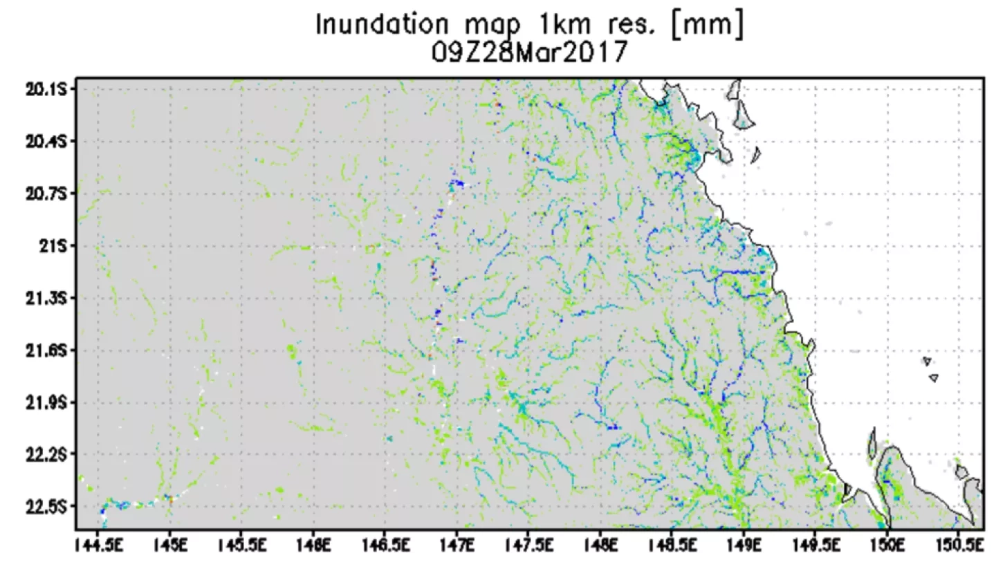
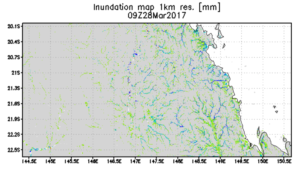
An inundation map of the region near Proserpine, Australia, produced using the Global Flood Monitoring System (GFMS). The GFMS is a NASA-funded experimental system using real-time TRMM Multi-satellite Precipitation Analysis (TMPA) precipitation information as input to a quasi-global hydrological runoff and routing model.
643


