UPDATE 9/19/18:
Click here to view the animated VIIRS cloud mask product.
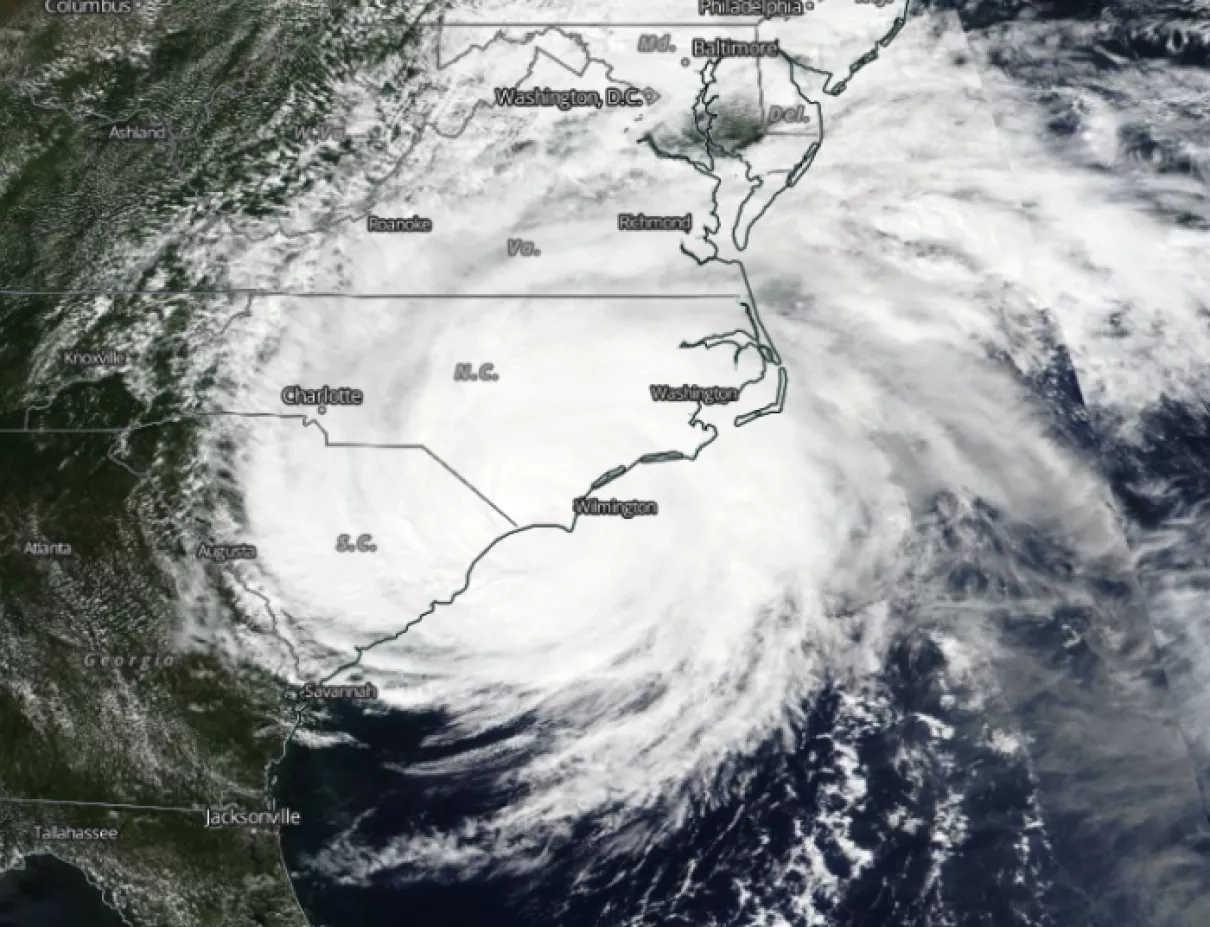
It is the new image from VIIRS Cloud Mask product on September 17, 2018. Hurricane Florence moved to Maryland and brought heavy rain, and then Florence was moving toward New England. More than 2 inches of rain were reported in many areas in Maryland, according to the National Weather Service.
UPDATE 9/14/18:
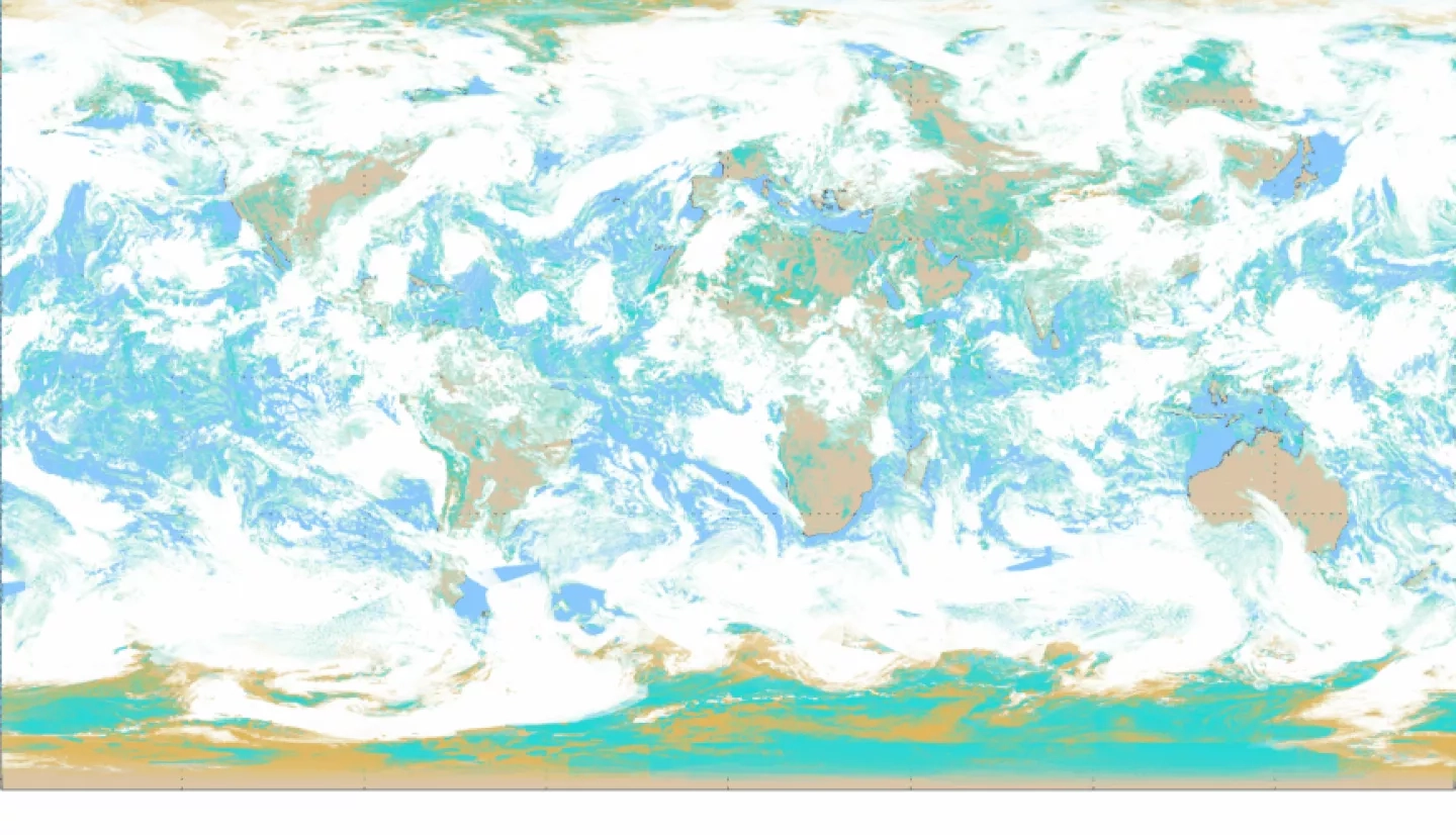
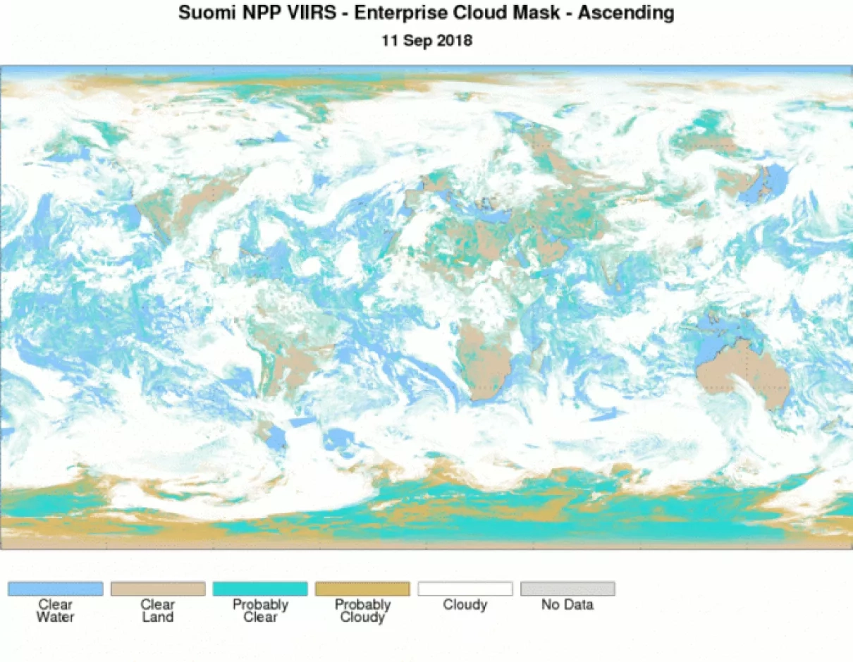
The Visible Infrared Imaging Radiometer Suite (VIIRS) is one of five instruments aboard the joint NASA/NOAA Suomi National Polar-orbiting Partnership (Suomi-NPP) satellite, which was launched in October 2011. VIIRS collects visible and infrared imagery and radiometric measurements of the land, atmosphere, cryosphere, and oceans. VIIRS data is used to measure cloud and aerosol properties, ocean color, sea and land surface temperature, ice motion and temperature, fires, and Earth's albedo. VIIRS clouds products include cloud mask, cloud cover layers, cloud top height, cloud top pressure, cloud top temperature, cloud base height, cloud optical thickness and cloud effective particle size. VIIRS extends and improves upon a series of measurements initiated by the Advanced Very High Resolution Radiometer (AVHRR) and the Moderate Resolution Imaging Spectroradiometer (MODIS).
Learn more about VIIRS:


