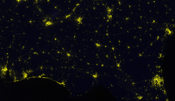
UPDATE 10/12/18:
Clear skies overnight provided ideal view conditions for the VIIRS Day/Night Band sensor to capture the intensity of the city lights post Hurricane Michael. Note the widespread power outages across Florida and Georgia.
Interactive viewer: https://maps.disasters.nasa.gov/arcgis/apps/MapSeries/index.html?appid=…
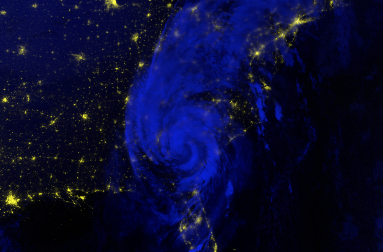
Original Post 10/11/18:
NASA’s Short-term Prediction Research and Transition (SPoRT) Center at Marshall produces false color composites of Suomi-NPP VIIRS instrument day night band (DNB) radiance and infrared cloud and land surface temperatures (M15). DNB imagery is assigned to red and green channels and brightness temperatures to blue shades, allowing a combined display of nighttime lights, fires, reflected moonlight and occasional lightning in shades of yellow (new moon) to white (full moon) along with blue tinting of cloud imagery. This color combination is based upon usage developed by the Naval Research Lab and shared with partners in NOAA’s National Weather Service. In this image, city lights appear in bright shades of yellow to white when not obscured by clouds (shades of blue to white). Visual comparisons of pre- and post-event scenes allow for subjective identification of where lights are missing as a result of disaster impacts on local infrastructure that have caused damages to structures or utilities.