
Published
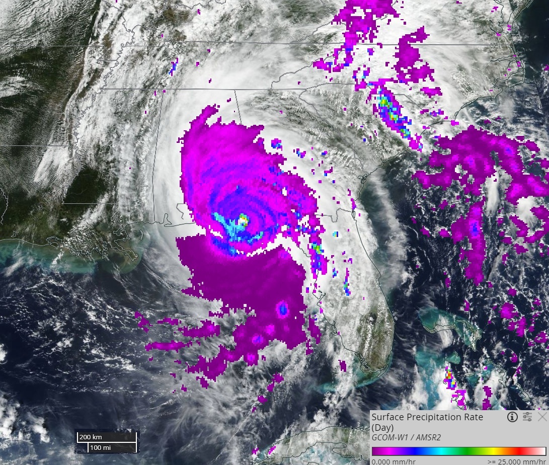
This LANCE NRT AMSR2 image shows high precipitation rates in red, yellow and light blue, and lower rates in dark blue and purple. LANCE NRT AMSR2 products include surface precipitation rate, wind speed over ocean, water vapor over ocean and cloud liquid water over ocean. NRT AMSR2 products are generated within three hours of observation, using algorithms provided by the NASA-funded US AMSR2 Science Team, with JAXA NRT L1R (resampled brightness temperatures) as input.
Discover and Access LANCE AMSR2 NRT data:https://lance.nsstc.nasa.gov/amsr2/data.html
View image using NASA Worldview application: https://go.nasa.gov/2ISHh5w
1012


