Share icon
Published
This visible image of the clouds associated with the low pressure area containing remnants of Hurricane Patricia over the U.S. Mid-Atlantic and northeast was taken from NOAA's GOES-East satellite at 1445 UTC (10:45 a.m. EDT). Credits: NASA/NOAA GOES Project

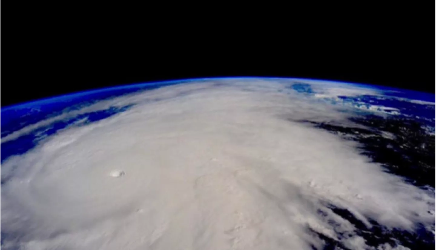
Hurricane Patricia as seen from the International Space Station on Friday afternoon, October 23, 2015

On Oct. 27, RapidScat measured winds along Florida's west coast near 18 meters per second/40.2 mph/ 64.8 kph. Stronger winds up to 27 mps//60.4 mph/97.2 kph were seen off the coast of the Carolinas. Credits: NASA JPL, Doug Tyler

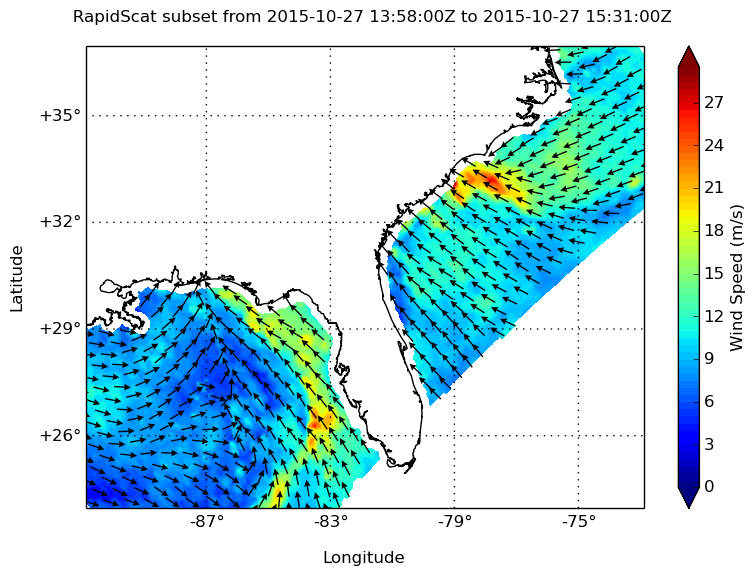
Wind speed and direction near the ocean surface, as measured on October 23 by the ISS-RapidScat. Brighter shades of blue represent stronger surface winds.

Related Impact

Story
News