Published
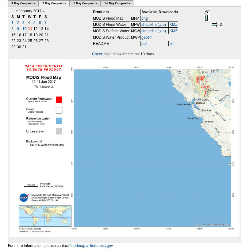
Static MODIS flood maps are available here: http://oas.gsfc.nasa.gov/floodmap/getTile.php?location=130W040N&day=11&year=2017&product=2
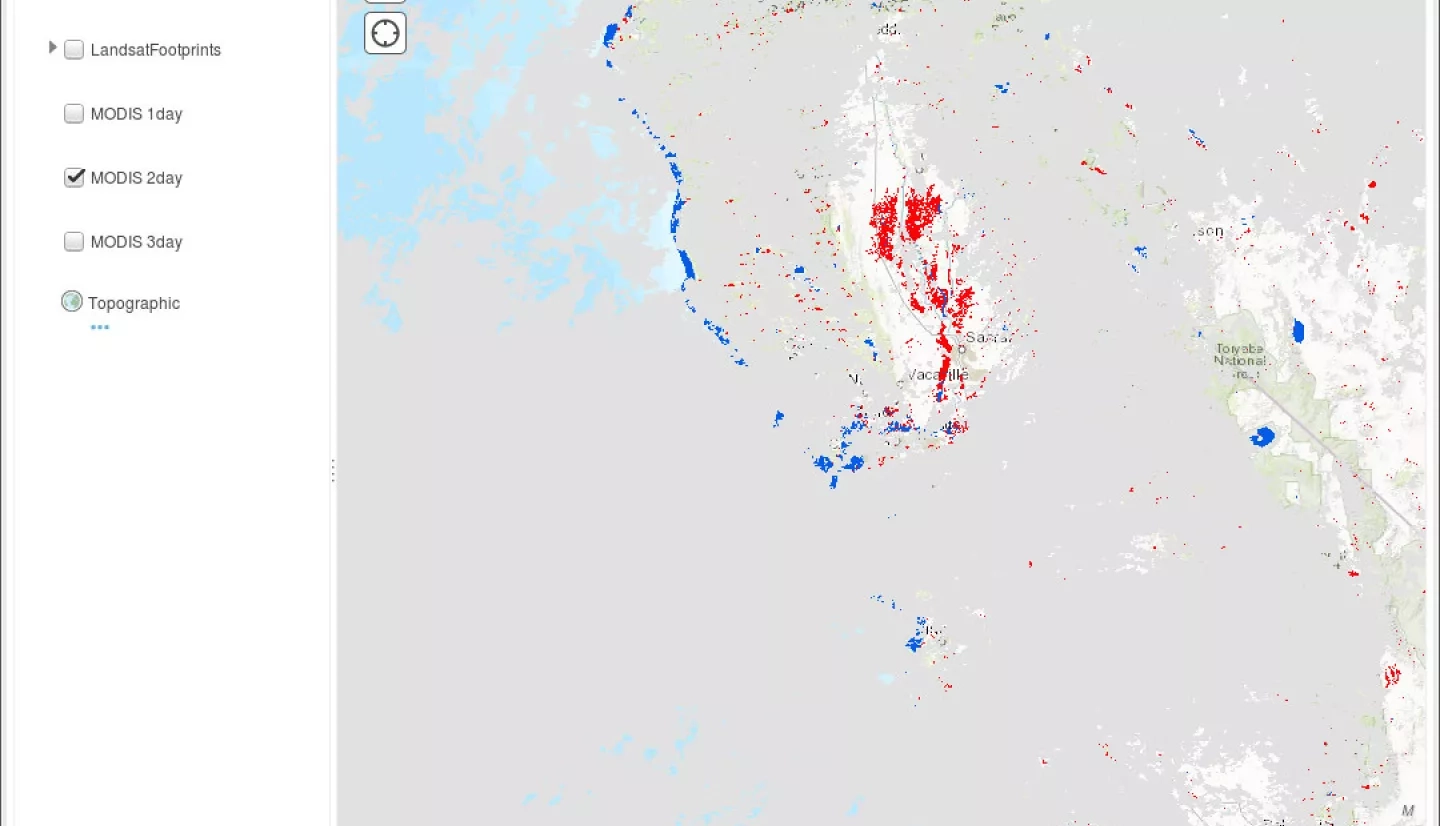
Interactive ArcGIS MODIS and Landsat flood maps available here: http://gs6104oasl1.ndc.nasa.gov/arcgis/home/webmap/viewer.html?webmap=b…
625


