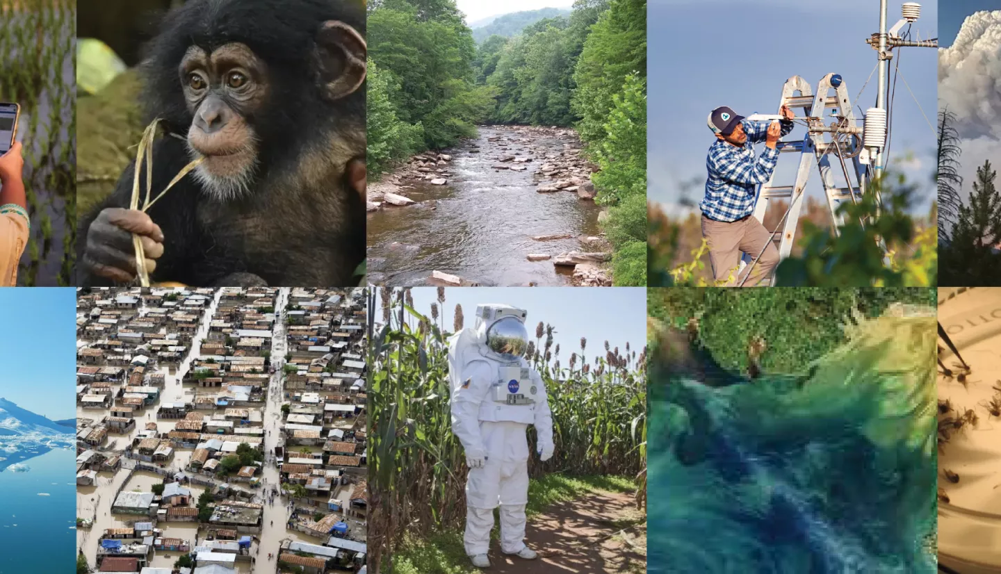
From helping communities adapt to climate change to sustaining a hungry world, NASA Applied Sciences uses Earth observations to solve our planet’s most pressing issues – but we can’t do it alone.
Voting for the annual SXSW innovation conference is open now until August 20. Community voting accounts for thirty percent of the decision for whether the proposed panel will be chosen.
Learn more about the NASA Applied Sciences’ experts who could be on the 2024 SXSW stage, and have a voice in which will make it there.
Empowering Equitable Decisions with NASA Satellites
From mosquito control to wildfire recovery, NASA satellites are constantly collecting data that can inform better, more equitable decisions for communities. And city-level decision makers can use NASA data without being satellite experts! Join NASA to learn how researchers are developing new tools to make this data more accessible, and how scientists and local government agencies collaborate on priorities like public health, sustainability, and emergency response. Increasing access to Earth observations empowers everyone to create stronger, more resilient, and more equitable communities.
View voting for this panel
Heat, Dust, SMOKE, Disease: What NASA Measures in Our Air
Heat advisories, air quality alerts and extreme weather warnings are speeding up as temperatures rise. But—take a deep breath—so are the technologies researchers, doctors and healthcare policy experts are using to predict and track disease, weather and air quality particulates. Join NASA specialists and NASA-funded researchers using Earth observations from satellites to inform and care for impacted communities. They'll dive into projects focused on the air we breathe and how it affects our health, including cooling centers, disease-spreading mosquitoes, and wildfire emissions and pollution.
View voting for this panel
Monitoring Agriculture for a Changing Planet
How can global food supply chains adapt to climate change to keep the world fed – especially in communities that are disproportionately impacted? Join NASA researchers, farmers, and global crop monitoring experts to dig into how NASA's view from space can help balance water resources with food production. From farmers like Dwane Roth in Kansas who uses a NASA app to grow his crops with less water, to researchers like Catherine Nakalembe helping communities in East Africa use satellite data to make local crop decisions, this panel will share the latest advances in satellites for food security.
View voting for this panel
NASA Satellites for Safer Transportation
Did you know NASA satellites are involved in improving transportation planning for humans and animals? Volcanic ash, desert dust and natural disasters can make travel more dangerous and less efficient—a critical combination when emergency response teams are trying to figure out which roads are blocked by trees or floods so they can quickly get help to those who need it. NASA data also helps rice farmers provide highways for migrating birds, and informs the protection of habitat to create wildlife corridors so endangered species have enough space move, hunt, and care for their young.
View voting for this panel
NASA Climate Data: From the Big Picture to Your Backyard
We have entered into a new geological age, one in which the dominant force shaping the planet is... us. Evidence for this new Anthropocene era is increasingly visible from space, where orbiting satellites monitor shrinking glaciers, rising seas, and accelerating deforestation. NASA satellite data also helps monitor things that are harder to see, including CO2 emissions, hazardous air quality, disasters and other risks to people and communities around the world. Join us for a provocative visual tour of how human activity is driving change on our home planet. And learn how people are using NASA data to understand, prepare for, and react to the impacts of climate change. All from a perspective only NASA can provide.
View voting for this panel
Satellite Data for Beginners: A NASA Training
NASA has 30+ satellites pointed at Earth, collecting data useful for everything from disaster response to installing your solar panel at the right angle. This data is free to the public, and you don’t have to be an expert to use it! NASA conducts free trainings to use this data. And for the first time, we’re bringing that directly to SXSW EDU! Join NASA’s Applied Remote Sensing Training for an introduction to accessing, interpreting, and applying NASA data on local and global scales, with real-life case studies and opportunities to bring it into the classroom – no experience required.
View voting for this panel


