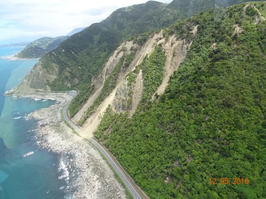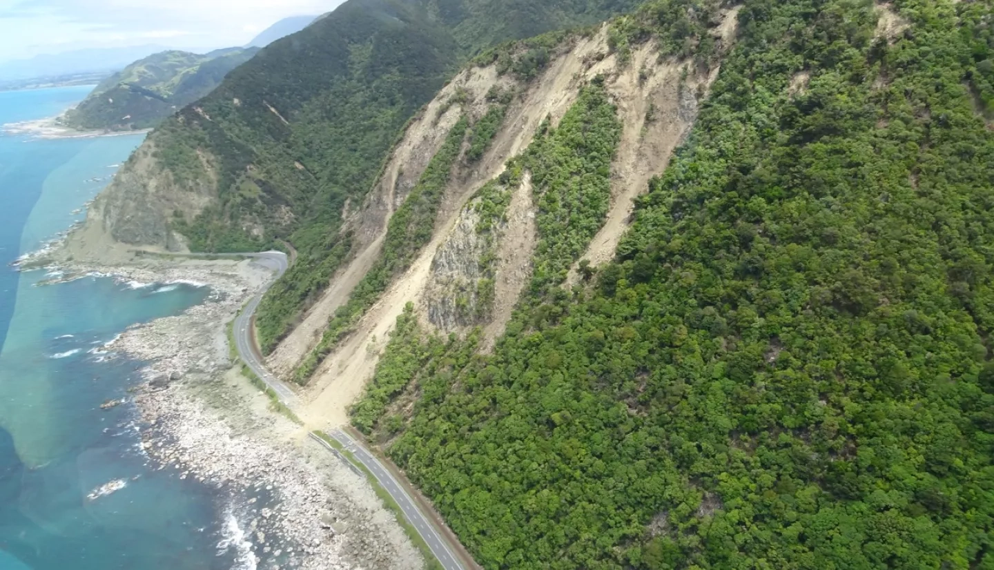
Landslides may be smaller than most hazards, but what they lack in size, they make up for in prevalence. These events kill thousands of people each year, destroying homes and infrastructure all over the world. Unfortunately, landslides are challenging to detect, and researchers remain unaware of many events that occur in remote locations. To address this issue, NASA created the Landslide Reporter to help local communities get involved in landslide reporting.
Landslide Reporter is a NASA citizen science project that asks citizens from around the world to report landslides near them. Once reported, the landslide data is reviewed by NASA scientists, and if accepted, is incorporated into the world’s largest open global landslide inventory – the Cooperative Open Online Landslide Repository (COOLR). The data is then used to validate the Landslide Hazard Assessment for Situational Awareness (LHASA) model being developed at NASA Goddard Space Flight Center (GSFC). LHASA identifies locations with high potential for landslides by combining satellite-based precipitation estimates with a landslide susceptibility map derived from information on slope, geology, road networks, fault zones, and forest loss. The LHASA near real-time output can help communities prepare for the threat of landslides and make educated decisions for disaster management and developing resilient communities.
This Citizen Science month, the NASA GSFC landslides team will be hosting a virtual presentation and Q&A to teach people about the project. The presentation will be held via Zoom on April 28 from 6-7 p.m. EDT (click here to register). Join to learn how you can help inform NASA researchers about landslides affecting your community.
Learn more about the Landslide Reporter Q&A event
Learn more about NASA’s citizen science projects
Learn more about NASA landslide research